After being entertained by the other models, it's now time to turn to 'old reliable', well at least some of the time. The period that the NAM covers is thru Friday evening. I can provide the graphics but thought you may want to experiment with the site for yourself.
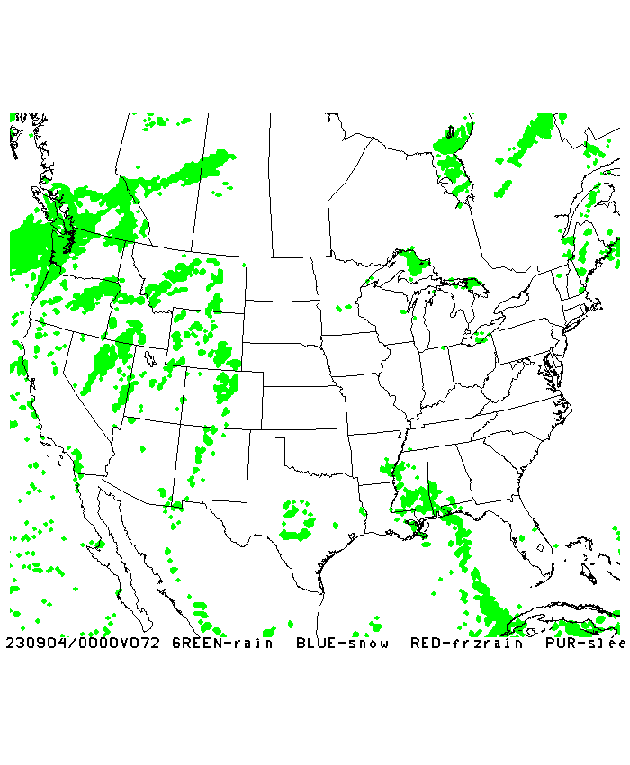
This is a simulated radar with precipitation type for the next 84 hours, or the maximum time covered by the NAM.
84 hour NAM Simulated Radar w/ Precip Type
Corresponding to this, you can follow the falling temperatures behind the front. It appears as of this run that temperatures will fall to near freezing at Louisville by 4pm Thursday evening with scattered flurries.
84 Hour NAM 2m Temperature Profile
The NAM does not look past the Friday evening time frame as of this run that I've provided you with, but some are talking about a clipper system that may bring a period of snow to our region. Stay tuned for details.
MS
Subscribe to:
Post Comments (Atom)
-
Recently, I noticed that our days have now begun to shorten. However, our sunset here in Louisville still remains at 9:10pm edt. Starting th...
-
 In July of this year, I did a segment about the latest sunsets in the eastern time zone. This corresponded nicely with the summer solstice a...
 -
A 1 Temperature C Humidity F Heat Index 2 81 82 86.82 This is an Excel spreadsheet program. Fairly ...

No comments:
Post a Comment