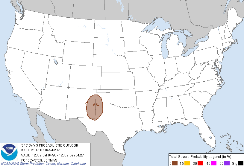
***Sat p.m. UPDATE***
Nothing new to really add. Wind advisory out for Sunday. Our local NWS office is still talking about heaviest axis of precip and instability east of I-65. Damaging wind is the primary threat but isolated tornadoes along the LEWP is possible, given the high helicity values. I'll have more info either late tonight after the UK game or first part of Sunday as I'll turn my attention to the 'numbers' from the SPC.
------------------------------
**Sat a.m. UPDATE**
Brief summary of other NWS offices about severe weather chances...
PAH - Large hail threat; deep stable layer or cap in the lowest 7-10k right up to frontal passage thus limiting tornadic and/or damaging wind risks. On the other hand, if cap breaks...kaboom!; system appears to be moving quicker than originally forecast
MEM - focuses on faster movement of cold front; by 1pm cdt for them; cap to be in place but slowly eroding; high low level helicity supports greatest tornado threat over NE Mississippi and west TN; heavy rainfall of 1-2", isolated 3" possible
LOU - heavy rainfall threat still there, but not as impressive with a faster moving front; despite marginal instability, low level jet and downdraft CAPE numbers suggest gusty winds transported to surface along storm/frontal passage thus severe weather still a possibility. Best chance for severe in the southern and southeastern parts of the Louisville CWA
INDY - Severe threat still there, but speed of frontal passage may limit severe overall than previously thought
----------------------------------
This weekend, I'll be focusing on the threat for severe weather for our region coming Monday. As of now, the Storm Prediction Center has placed much of the region in a slight risk category. Here is the most recent image:
As I mentioned in my previous post, pay attention to the low level jet. The SPC mentions a 50-60kt south-southwesterly low level jet that will support moisture transport northward across the warm sector. The greatest instability should be confined from the Tennessee valley southward. However, although instability will tend to be marginal with northward extent, the strength of the deep layer and low level shear should overcome that limiting factor and support mainly a damaging wind threat across the Ohio Valley.
I'll have much more during the day and Sunday.
MS
Subscribe to:
Post Comments (Atom)
Tornadoes on Easter Sunday
This is a worse case scenario. Tornadoes and flooded, blocked roadways making for great difficulties reaching residences affecting hard hit ...
-
Recently, I noticed that our days have now begun to shorten. However, our sunset here in Louisville still remains at 9:10pm edt. Starting th...
-
In July of this year, I did a segment about the latest sunsets in the eastern time zone. This corresponded nicely with the summer solstice a...
-
A 1 Temperature C Humidity F Heat Index 2 81 82 86.82 This is an Excel spreadsheet program. Fairly ...


No comments:
Post a Comment