***10:45pmUPDATE***
SPC has hatch marks near Louisville meaning strong tornadoes/destructive winds possible.
***8:00pm UPDATE***
NEW Tornado Watch issued for parts of Indiana, west KY. From just northeast of Indy southwest to Owensboro to Hopkinsville and points west of each location till 3:00am edt
In fact, this WATCH encompasses a lot of territory. I don't recall ever seeing a Tornado Watch so large.
***7:30pm UPDATE***
Possible tornado damage now reported in Girard IL where 2 homes damaged and people trapped
Incredible hail reports as well. Lots of golf ball size and larger being reported
Look for possible WATCHES to be issued for Louisville and points west within a couple of hours or so.
Timing of storms in Louisville as of now stands at about 1:00am edt or so. Storms not moving as fast at the moment.
***6:55pmUPDATE***
At least 1 home and 2 barns destroyed in Bowling Green MO
Some reports of softball size hail
In fact, lots of hail reports thus far
***6:10pm UPDATE***
Southern suburbs of Springfield IL watch out for severe weather.
Talk about a warm front; during a 5-hour stretch, Springfield went from 49 to 79 last hour.
-------------
***5:55pm UPDATE***
Have fun trying to get on the LIVE video chase cams
at severestudios.com and tornadoalley.net
------------------------
***5:30pm edt UPDATE***
First tornado warnings out north and west of St Louis
Golf ball to Baseball size hail reported with some of those cells.
SPC has placed hatch marks for greatest chance for strong tornadoes:

That would be about 12:30am or so. Please turn on those weather radios before going to bed.
----------------------------------
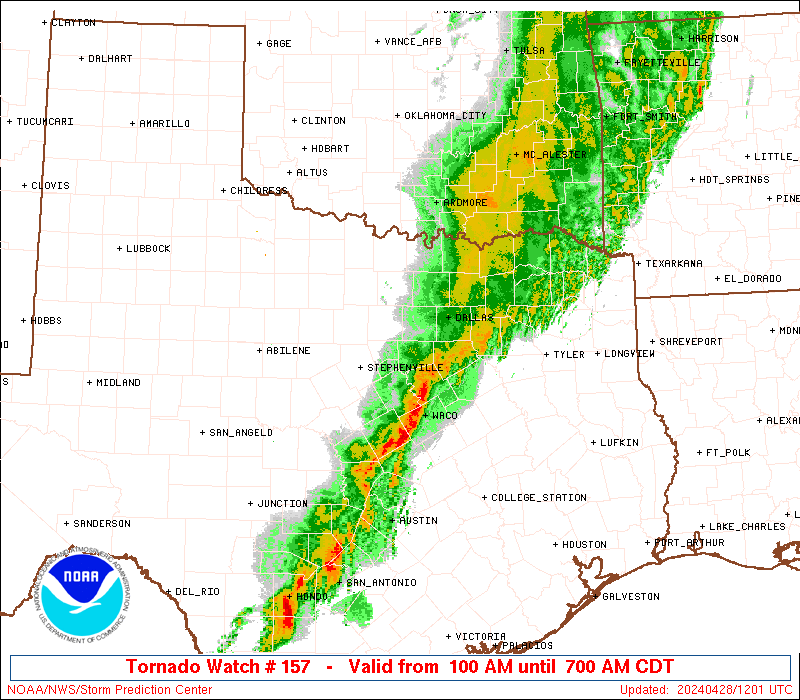
As of this post, a TORNADO WATCH has been posted for areas around St Louis.
For amateur (radio) weather spotters: here is a map depicting the proper repeater frequency
http://www.crh.noaa.gov/lmk/pdf/known_hamradio_repeater_map.pdf


No comments:
Post a Comment