Still, quite a few clouds. How will this interfere with severe chances for the region? Currently, low pressure in southern Illinois is racing northeast.
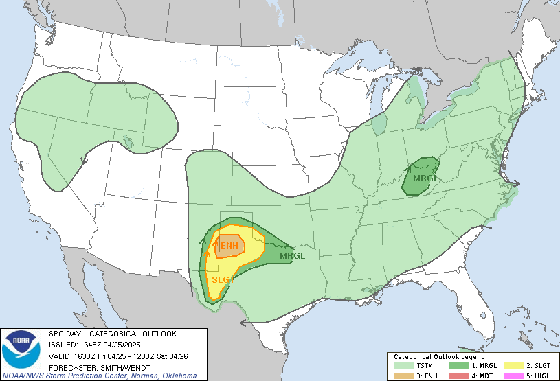
Here's the latest severe outlook from the SPC...

Impressive Storm Relative Helicity values approaching Bowling Green. Based on these values, best chances for severe weather still look to reside south of E'town to Bowling Green and points south from there. Also, east of these locations could see helicity values increasing this afternoon.
Dewpoints in the upper 50's to mid 60's also being reported in parts of west and central Kentucky, supportive of a possible severe setup.
Shear of 40-50kts could possibly aid in a damaging wind potential for parts of the state. I still would not exclude Louisville from the possibility of 45mph winds with an expected squall line that appears to be trying to develop just west of Paducah.
Instability is not impressive; however, the helicity values are still a concern. Could a WATCH be issued? I would say best chances would be south near Bowling Green east to Somerset. E'town east to Richmond. Right now, things just don't look promising, YET. Will be looking for catalysts over the next couple of hours.
MS

No comments:
Post a Comment