Thursday, June 30, 2011
Bad Air and Bad Heat
Today's air quality index is expected to reach the Unhealthy for Sensitive Groups criteria. Tomorrow's index is also forecast to be in the same category.
Meanwhile, for today, I counted at least 12 states whose NWS offices have issued some type of heat-related product, whether excessive heat or heat advisories.
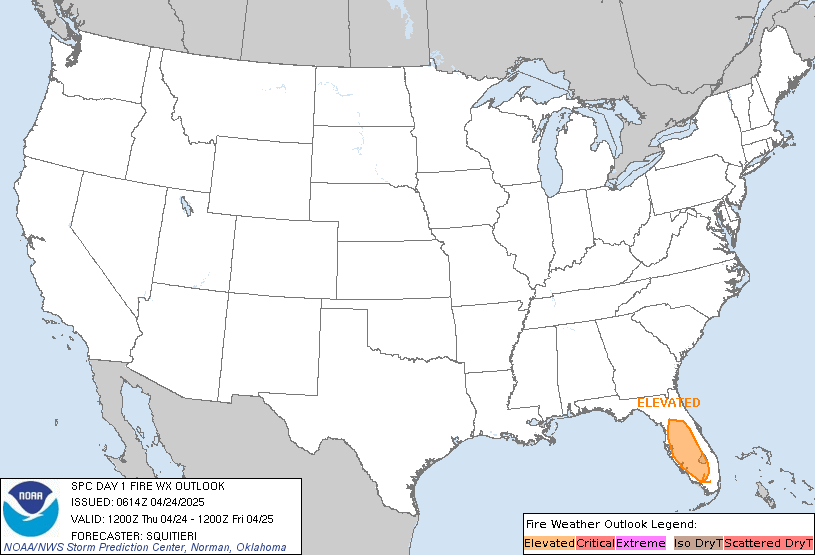
Also, fire danger is increasing across the west mainly due to dry thunderstorms. Numerous lightning strikes are expected, which should help rapidly spread any field/woodland fires.
MS
Tuesday, June 28, 2011
Possible Heat Burst Cause of High Winds
According to the NWS office here in Louisville, a heat burst has been ruled the most likely culprit of some high winds at or just below 60 mph in several counties to our west and southwest. Here's what they said:
IT IS LIKELY A HEAT BURST OCCURRED IN THE
DAVIESS/SPENCER COUNTY AREA BORDERING OUR NWRN CWA AROUND 3 PM EDT.
A STORM REPORT FROM THERE INDICATED EXTREME HEAT-LIKE A BLOW TORCH-
ALONG WITH HIGH WINDS (50-60 MPH WINDS). THESE WINDS DROPPED ESE
INTO PARTS OF HANCOCK...BRECKINRIDGE...HARDIN...OHIO AND GRAYSON
COUNTIES WHERE THE ELIZABETHTOWN MESONET RECORDED A WIND GUST NEAR
60 MPH AND A COINCIDING RISE IN TEMP/DROP IN DEWPOINT. THIS WAS ALL
BEHIND DECAYING TSTMS.
From what I've read in historical accounts about heat bursts, most of the well-documented ones occurred at night or very early morning. I've read of temperatures rising from near 80 to well over 100 in a span of a few minutes during the middle of the night. Although these are rare, they are even more uncommon during the daylight hours (at least the heat aspect of it).
The most recent heat burst of note was in Wichita KS a few weeks ago when the temperature spiked 17 degrees in 20 minutes (85 at 12:22am to 102 at 12:42am) accompanied by 50-60 mph winds.
Just goes to show we have seen it all this year when it comes to the weather.
MS
Sunday, June 26, 2011
Strong Storms For This Morning...
5:00am FINAL UPDATE in Knox county Vincennes IN
More in a moment...Right now, no severe weather at my location, not hearing of too many problems in our Metro area.
Vincennes has many roads washed out/buckled or closed due to high water. Water rescues due to washed out roadways.
-------------------
4:40am UPDATE
Gusty winds here in Valley Station; 30-35mph with lots of lightning to my northwest.
Over 3,000 in Orange county without power; no reports of power outages from LG&E yet locally.
-------------------
After following the serious flooding in Knox county Indiana, possibly severe storms approaching Louisville early this morning. Again, following police scanners just to my west; so far, no severe weather reports but heavy rain is indeed the problem.
Radar returns showing heavy rain and lots of lightning with these storms. Power outages due to lightning and wind may occur. Will stay at my location and report anything if or when it happens.
Tree across road SR1050 to my west. Is on transformer. High winds or lightning, don't know yet..
Starting to rain at my location.
Serious Flooding in Knox county Indiana (Vincennes)
3:35am UPDATE in Knox county
There are reports of trees down and power lines down in some areas, causing additional obstacles for emergency response vehicles.
3:20am UPDATE in Knox county
6th and St Clair requests for barricades; street dept busy with trees down at another location
Several roads are becoming impassable due to 2-3ft of water covering the roadways
--------------------------------
3:05am UPDATE in Knox county. Serious problems continue to mount.
US 41south MM50 road washed out, taking car with it; 80year old injured
Emergency reponse vehicles, police and fire and ambulance, having a difficult time reaching certain locations because of high water.
-------------------------------------------
Police scanners are lit up early this morning across Knox county Indiana. A very serious flash flooding issue has arisen. Flood waters are causing multiple problems for residents there. Roads are flooded, cars are stalling, some power outages, even police dispatch internet is down.
I just heard a report called in to the fire department where waters were rising rapidly inside a home, approaching the height of the electric box. Heard another report of a basement collapse due to flooding. Sounds like nobody injured there. Getting reports of some streets with over 3 feet of water.
MS
Thursday, June 23, 2011
NWS Storm Survey Assessments 06222011
Check back for updates on completed storm surveys being conducted by the NWS...
Tornado at Churchill Downs EF-1; Floyd and Central EF-2
NARRATIVE: THE TORNADO WAS RATED AS AN EF-1 AT CHURCHILL DOWNS WITH
ESTIMATED WIND SPEEDS OF 100-105 MPH. FIVE BARNS AT THE RACE TRACK
HAD LARGE SECTIONS OF THEIR ROOFS BLOWN OFF AND CINDER BLOCK WALLS
BUCKLED OR COLLAPSED. CHRIST CHURCH ON CHURCHILL DOWNS HAD SOME ROOF
AND SIDING DAMAGE. AS THE TORNADO MOVED EAST...IT STRENGTHENED TO
EF-2 INTENSITY WITH ESTIMATED WIND SPEEDS OF 120 MPH NEAR THE
INTERSECTION OF FLOYD STREET AND CENTRAL AVE. AT THIS LOCATION...A
LARGE INDUSTRIAL BUILDING WAS HEAVILY DAMAGED. NUMEROUS TREES WERE
UPROOTED AND SNAPPED ALONG THE PATH OF THE STORM. THE TORNADO LIFTED
NEAR THE INTERSECTION OF CRITTENDEN DRIVE AND CENTRAL AVE WHERE A
SUPER 8 HOTEL HAD MINOR ROOF DAMAGE. THERE WAS NO DAMAGE OBSERVED AT
PAPA JOHNS CARDINAL STADIUM.
Tornado near downtown J'town EF-1
NARRATIVE: AT THE START OF THE PATH THE TORNADO WAS EF0 STRENGTH AS
IT DAMAGED SHINGLES AND SIDING AND SNAPPED MAPLE TREES. AT ORCHARD
LAKE BOULEVARD AND FALLEN APPLE LANE TREES WERE BLOWN DOWN AND LAID
OUT IN NORTH...NORTHEAST...AND SOUTH DIRECTIONS. THE TORNADO MOVED
INTO THE HURSTBOURNE WOODS SUBDIVISION AND RIPPED A LOCKED POOL GATE
FREE AND THREW IT OVER A BUILDING AND 35 YARDS DOWNWIND. THIS
LOCATION SUFFERED THE WORST DAMAGE WITH GUTTERS...SIDING...AND
SOFFITS RIPPED FROM BUILDINGS AND DEPOSITED 30 YARDS AWAY IN TREES.
NEXT A LARGE OAK TREE WAS UPROOTED AT 3705 MODESTO ROAD AND A
TRAMPOLINE WAS THROWN INTO A VOLKSWAGEN AND THEN OVER A HOUSE. AT
9407 WILLOW WOOD WAY THERE WAS ROOF DAMAGE AND MANY TREES...BOTH
HARDWOOD AND SOFTWOOD...WERE SNAPPED AND UPROOTED. THE TORNADO
BRIEFLY MADE ABOUT A 25 DEGREE TURN TO THE NORTHEAST JUST BEFORE
DISSIPATING AND CAUSING SOME ROOF AND TREE DAMAGE AT ITS END POINT.
Tornado 2 J'town - EF-2 (mostly EF-1)
NARRATIVE: THE TORNADO MOVED ALONG ST EDWARDS DRIVE WHERE THERE
WAS ROOF DAMAGE TO ABOUT A DOZEN HOUSES ALONG WITH NUMEROUS TREES
UPROOTED AND SNAPPED. DAMAGE WAS ALSO OBSERVED ON CHARLENE WAY AND
DELL ROAD. AT THE CORNER OF MAPLE AND GALENE ROAD...A LARGE SECTION
OF A LARGE OAK TREE SPLIT OFF AND WAS THRUSTED INTO A WALL OF THE
TULLY SCHOOL. THERE WAS ALSO STRUCTURAL DAMAGE AND ROOF DAMAGE AT
THE GOOD SAMARITAN SOCIETY NURSING HOME AT 3500 GOOD SAMARITAN WAY.
AT THIS LOCATION...TWO VEHICLES IN THE PARKING LOT WERE THROWN ABOUT
20 YARDS AND FLIPPED OVER...LOW-END EF-2 DAMAGE WAS OBSERVED HERE.
THE STORM CONTINUED TO THE EAST AND APPARENTLY LIFTED OFF THE GROUND
AS THE GROUND DESCENDED INTO A SMALL VALLEY INCLUDING RUCKRIEGAL
PARKWAY. THE TORNADO AGAIN CAUSED DAMAGE ON ELECTRON DRIVE AT THE
DILLIARDS WAREHOUSE AND MACHINERY SPECIALTIES WAREHOUSE. AT THESE
LOCATIONS...THE BRICK FRONT FACE OF EACH BUILDING WAS PUSHED OUT. A
LARGE FENCE AROUND THE DILLIARDS WAREHOUSE WAS DAMAGED AND A
SECURITY SHACK WAS THROWN AROUND 30 YARDS. THE TORNADO LIFTED ON THE
SOUTH SIDE OF ELECTRON DRIVE.
Wasn't That A Strange Setup?
QUICK UPDATE:
NWS is conducting their survey at this moment. Their assessment will be completed some time today.
Interestingly and I forgot to mention this, did anyone notice the weather observation from the NWS Louisville Int'l or Standiford Field at 8:00pm? I have never seen a weather observation like that.
Funnel Cloud and Breezy, SE winds at 21mph gusting to 26.
After a strange weather situation yesterday that apparently produced tornadoes in Louisville, the damage assessment from survey crews will commence today.
In my opinion, there were funnel clouds, especially with the first cell to affect the region. Around 7:20pm, I left for a prior non-weather engagement and noticed what I thought was just a simple and small rain cloud to my west across the river in Harrison county Indiana.
On the Gene Snyder between Stonestreet and Dixie Hwy, I was at an elevated position looking across the river and noticed a cloud shaped like a small wedge from the base of this rain cloud. It was far away and the hills obscured my view; therefore, could not be sure if it was rotating or even very close to the ground. I wasn't expecting any severe weather but turned on the radio just in case. No warnings, no apparent sightings of any funnels.
So, I just dismissed it as a low hanging scud but was not very convinced of that reasoning (since scud tend to hang well below the base of the cloud. However, I believe that it was this cell that would track across portions of Shively, and eventually toward Papa John's Stadium and Churchill Downs near UofL that produced multiple tornado touchdowns, some of those with strong EF-1 damage.
Of course, we'll see what the NWS says about that, but I've never seen a tornadic cell embedded within a simple rain cloud. Obviously, the cell was rapidly developing into a cumulonimbus (thunderstorm), but at the time of my sighting, the storm top on this thing could not have been more than 20,000 feet high. Many tornadic cells have cloud tops well above 35,000 feet and much higher.
More info later as the NWS crews complete their survey.
MS
Wednesday, June 22, 2011
Sunday Severe Storm Valley Station KY 06192011
Partial movie clip of Sunday's severe thunderstorm at my storm spotting location in Valley Station KY. Awesome storm clouds along with scenes of power outages and high winds and heavy duty rains...
You can also access this video from YouTube. Just click on the movie while in play mode and it should take you to the YouTube page.
MS
.
You can also access this video from YouTube. Just click on the movie while in play mode and it should take you to the YouTube page.
MS
.
Tuesday, June 21, 2011
Been Busy and Maybe Getting Busier
Well, I've been working on my video footage of severe storms from Sunday morning. However, I've been quite busy dealing with the aftermath of Sunday's storms. I did not have to deal with much damage on my property, but other family members and friends had problems from the weather. Therefore, your faithful weather guru has put weather on the backburner, for now.
That doesn't mean the backburner isn't on. Oh, it's on. Looks like Tuesday and Wednesday will serve up additional toppings of extra wind damage, torrential rains, intense lightning, but hold the tornadoes. We don't need those, now do we.
I'll try and post updates as necessary. I'm still working on the video and editing some of the shots because it is quite lengthy.
MS
Sunday, June 19, 2011
WakeUp Call
Severe storms approaching the area this morning...
Here are updates...
1:25pm
Lots of damage in Valley Station. That was the meanest storm in our area since the derecho of 2004. I will be posting video footage as well as some pics of storm damage.
Interestingly, I did not get a chance to call into the NWS for my severe weather report. Winds gusted between 60-65 mph and I'm worn out from removing tree debris, some quite large, from blocked roadways.
More later...
7:25am
Looks like I will be going to my storm spotting location here in Valley Station. High winds are expected. Already getting reports of trees blocking roadways to our west in Perry county approaching Harrison county.
I will be reporting on downed lines and trees blocking roadways if these should occur.
7:15am
Tree down across road near old 231 looks near Perry county and Owensboro KY
More reports of trees down across roadways coming in on police scanners.
Saturday, June 18, 2011
Heavy Rain Totals Since Midnight
Here's a look at rain totals since midnight from Mesonet sites:
I really believe some of those totals are pretty accurate, especially the ones near Louisville and points just west and south. I noticed that Louisville Int'l has recorded over an inch of rain since midnight (NWS page); however, my rain gauge shows nearly 2" (I live in SW Jefferson county). That lines up pretty well with totals just to my west and south, some places seeing over 2.5" so far.
In addition, lots of lightning with these storms, not as intense as the other morning, though. Nevertheless, as I write this post, Duke Energy reports power out to about 750 customers in Indiana with 17 in Kentucky and Ohio. Meanwhile, LG&E/KU reports about 845 of its customers affected this morning.
Looks like more complexes to come...
MS
Complex of Storms to Affect Our Region This Weekend
A series of MCS's will affect our weather at least thru Saturday night. Currently, RADAR has been indicating 3 different complexes, each with very heavy rain. During the heat of the day, additional complexes may form while these fade away. The ones that get cranking today will be capable of putting out damaging winds, very heavy rain, and dangerous lightning.
As I'm writing this post this morning, an impressive band of storms resides just west of Louisville. Feeding on a healthy low-level jet with moderate instability even at this hour, some storms have warranted severe thunderstorm warnings. Watch out for possible hail in some of the strongest storms along with winds approaching 30-40 mph.
Stronger storms are expected later during the heat of the day.
MS
Friday, June 17, 2011
MCS Power
An impressive Mesoscale Convective System (MCS) is moving across the landscape west of the Wabash river as of this report. A Severe T'storm WATCH is in effect for areas just west of Louisville. We'll see how this thing holds together.
Looking at RADAR, an impressive bow echo signature reveals very strong winds associated with this complex. A favorable environment for the complex, feeding off the heat and rising dewpoints.
Probabilities from the Storm Prediction Center include these for THIS WATCH BOX ONLY...
Severe wind - 60%
Severe hail - 40%
Tornadoes - 10%
Severe wind 70mph - 30%
These probabilities do not suggest an impressive outbreak of severe weather, but damaging wind appears to be the primary threat. Nevertheless, if this thing holds together, winds should reach severe limits (>58mph) to our west, including Owensboro, Evansville, and Jasper.
We'll see how this thing fares as it approaches the locations above as the current WATCH may need to be extended east to include Louisville and other locations east of I-65.
MS
Welcome To Your Friday 06172011
The end of another week is upon us. Hopefully, the weather will cooperate for any weekend plans. Besides Father's day, some other notable observances going on include...
This is National Fresh Fruit and Vegetables month; therefore, why not set a day to eat your vegetables. Hmm, what do you know. Guess what today is?
June 17 - Eat Your Vegetables Day (more about that, click here.)
Here is one I used to like a lot...
June 18 - Go Fishing Day
It always seemed to me that 'a bad day's fishin was better than any day's workin'.
By the way, Kentucky normally has its 'free-fishing weekend' during the first part of June...ours was June 4-5.
Get ready to hoot and holler about this one!!!
June 18 - National Hollerin' Contest day
Spivey's Corner, North Carolina (pop. 50) will be hosting this popular event. Held on the third Saturday in June, some 5,000-10,000 people are expected to either participate or simply listen to the thrill of a shrill.
MS
Thursday, June 16, 2011
Kentucky's #1
Well, maybe not basketball, baseball, or football. But I did find something...
* Data is preliminary and subject to revision
The wind reports of 566 ranks #1 in the country. Alabama is #2 at 564.
3 states have reported no severe weather thus far this year: Alaska (correction), Arizona, and Hawaii.
MS
* Data is preliminary and subject to revision
|
The wind reports of 566 ranks #1 in the country. Alabama is #2 at 564.
3 states have reported no severe weather thus far this year: Alaska (correction), Arizona, and Hawaii.
MS
What the Professionals Are Sayin'
It's about that time to look at what's going on with regards to drought, floods, heat, severe storms, and so on....
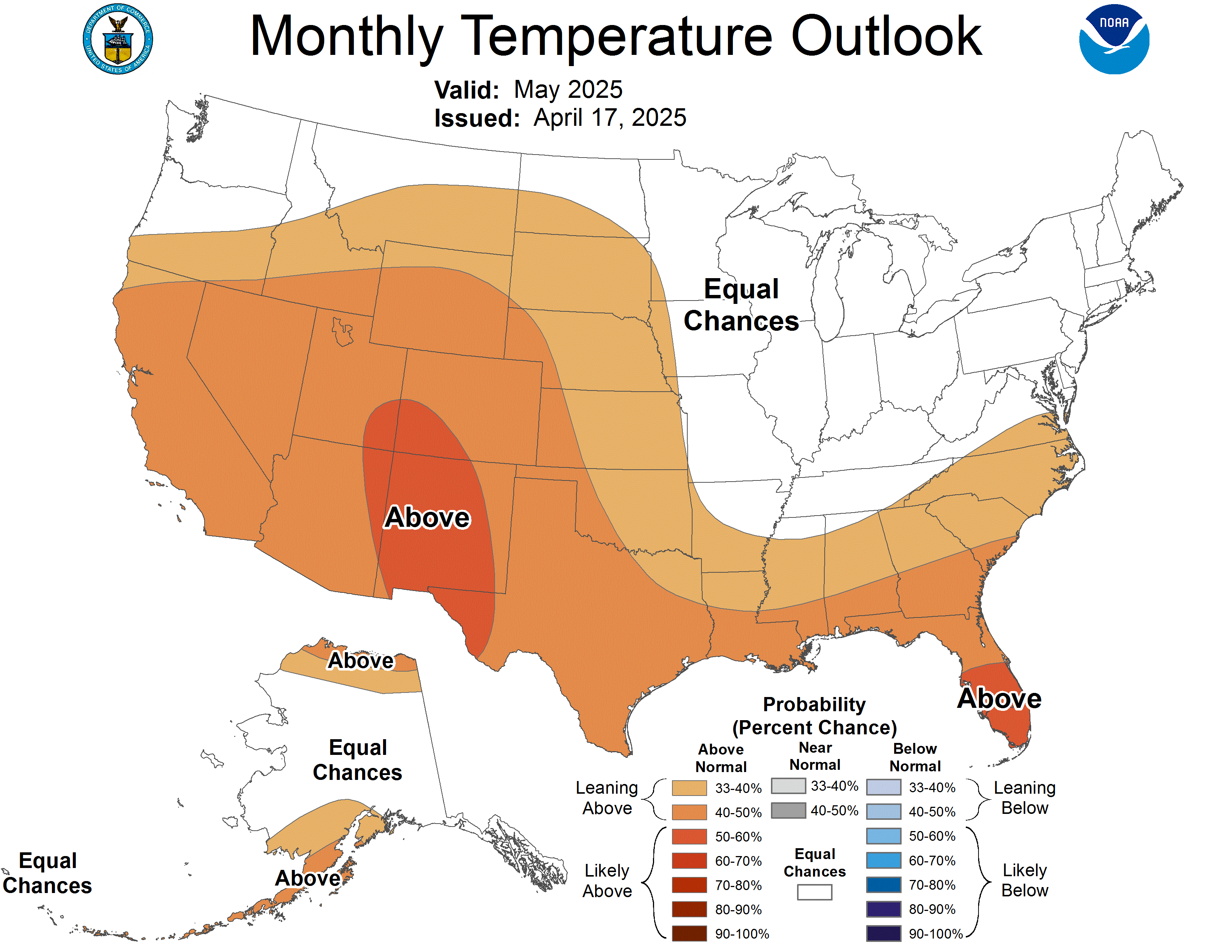
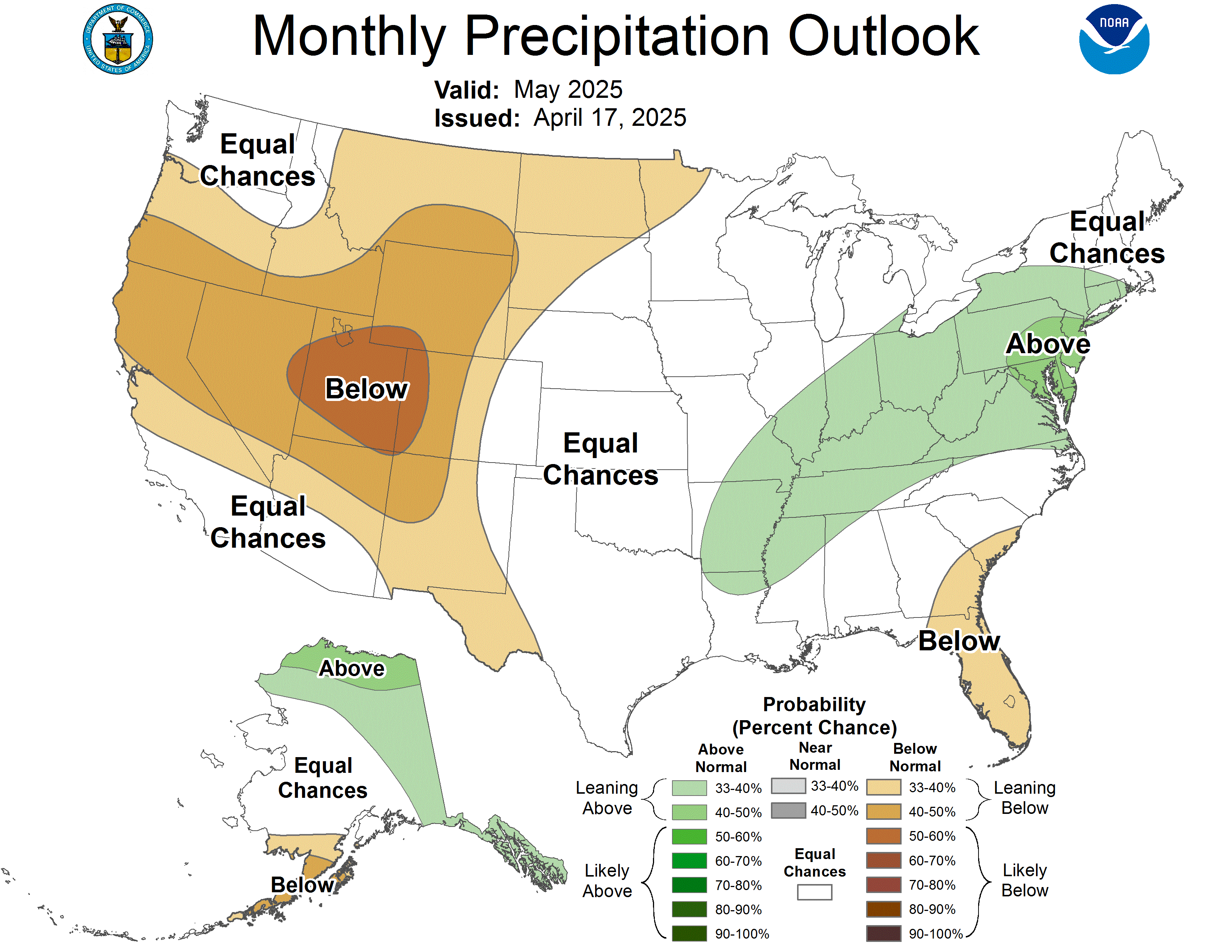
JUST RELEASED...from the Climate Prediction Center. The initial July forecast is out.
...and
As you can tell by the precipitation outlook for Texas, more dry conditions are expected. I thought this was an amazing map of the drought conditions...nearly 98% of the state experiencing some type of drought. And look at the percentage of the state suffering from extreme drought conditions!
In contrast, check out drought-free California...
By Friday, storms will begin to increase in coverage and intensity around here. Here's the latest from the Hydrometeorological Prediction Center...for the next couple of days
...and the Storm Prediction Center for the next couple of days...
NEWS FLASH...how could we forget this??? Las Vegas finally broke the 100 degree mark on June 14. This marks the 4th latest 100-degree reading on record. Yesterday's high (on the 15th) was 107. Expected high temperature today right around 100. More on their trip to the century mark, click here.
LA NINA FINAL ADVISORY...It's hard to believe but the la nina conditions that have helped plague our weather patterns have now begun to transition to ENSO-neutral. Click here for the final advisory.
COMFORTABLE DEWPOINT READINGS...
For the most part, dewpoint readings across the state aren't too bad today. That will begin to change however by this weekend.
FOR WHAT IT'S WORTH...
We know lightning is not a criterion for severe weather; however, I find it most odd when I see weather products from the National Weather Service and Storm Prediction Center that include segments related to tornadoes, flooding, severe thunderstorms (for wind and hail criteria), even fire weather products, drought, heat, winter, and hot air balloon forecasts, yes, hot air balloon forecasts.
OK, the other products besides hot air balloon forecasts are good for people who own property, trees, livestock, and crops. Also, personal safety and health are indeed a necessity, especially if ones will be working or playing outdoors.
Which now brings me to this thing called lightning. There are numerous write-ups, statistics, even safety awareness programs about it. Lightning poses health risks, potential damage to homes, power infrastructures, forests, and yes, livestock. Yet, there are no segments or products issued by the NWS or SPC specifically for lightning.
I'm not trying to say that lightning should be considered as an addendum to severe weather criteria, only that lightning should be given its own separate product as floods, droughts, severe thunderstorms, tornadoes, etc...all have their own products.
MS
A Summary of Yesterday (including pictures)
The weather indeed became active yesterday as expected. One of the most intense lightning storms in a while occurred early on during the day, knocking out power to thousands across the area.
In addition, some house fires as a result of lightning strikes occurred. One notable house fire happened not too far away from my location. Nobody was injured, but damage to the home was substantial.
I visited with the homeowner yesterday and he did give me permission to post pictures of the damage (I normally like to ask because someone's misfortune should not become another person's 'oooh-look-what-I-saw' and 'what-an-awesome-picture-I-took' kind of thing).
First, the limb that was struck by lightning, blew the bark right off. Parts of the limb did cause some structural damage to the home.
Next, here is a shot of the tree from where the limb was attached...
I did suggest to the homeowner to have the tree inspected by an arborist or perhaps by a tree company to determine if the entire tree is still safe to stand.
And finally, a picture from the back of the house, where an addition was severely damaged.
Again, thanks to the homeowner for letting me investigate the lightning damage during an especially hectic and busy day for him and his family (including pets, which are safe by the way).
MS
Wednesday, June 15, 2011
Severe T'Storm Watch 06152011
A Severe Thunderstorm WATCH is in effect for much of the Louisville county warning area till 11pm edt.
More graphics later.
UPDATE on house fire in Valley Station/PRP this morning.
I was able to talk to the homeowner this afternoon. He was in his basement this morning when lightning had struck a tree in the back yard. It appears that lightning severed a large limb from the tree which then landed on parts of the house. However, it does appear that lightning may have struck the tree first, then forked and struck the garage roof, which then caused a fire in the attic. Obviously, the fire quickly spread from there and soon engulfed most of the residence.
Derrick, the homeowner, did grant me permission to post pics onto my blog. I will be posting those tomorrow.
Just in case, have those weather radios ready. Hopefully, the storms will weaken as loss of daylight should minimize the energy for severe weather.
MS
Storms This Morning Cause House Fire
Well, I could not confirm it for a while, but I did find out from Whas11.com that the house in Valley Station/PRP area on Thompson was indeed struck by lightning. The house suffered extensive damage while a nearby tree was split apart.
I was following the event from police scanners on the internet. Officials at the scene were making periodic requests for LG&E to come out to the area.
Since I don't live too far from the area, I'm going to try and snap a picture or two of the place.
MS
I was following the event from police scanners on the internet. Officials at the scene were making periodic requests for LG&E to come out to the area.
Since I don't live too far from the area, I'm going to try and snap a picture or two of the place.
MS
Heat Is Getting Closer...
Follow the current heat index readings. Western KY already well above 90 heat index. Other locations east of I-75 near 60 degrees in the rain-cooled air.
According to the latest from the SPC, they are actually still not sure about severe weather chances here. They've kept parts of our region out of the severe risk for now. Although we do not have an 'official' slight risk, thunderstorm chances will be on the increase later this evening and tonight...and some of those will be strong.
MS
Kings Island Windseeker...Storm Tracker
Kings Island Windseeker...following the rain and storms
Click here for the latest view of the park
MS
These Storms Are Packing A Punch
QUICK UPDATE 10:40am
At least 5,500 outages in the PRP/Shively area this morning. Lots of lightning with this band of storms. Haven't heard of any house fires yet but still checking...
------------------------
As I always say, sleep is overrated. Noisy thunderstorms are causing a ruckus this morning. As of 10:20am, the LG&E/KU energy power outage map was showing about 5,000 customers without electricity. The lightning is very intense. Would not be surprised to hear of house fires this morning. Whew! And heavy rain is falling but no hail here yet at my location.
MS
Tuesday, June 14, 2011
Watching the Heat...and Storms
The heat is not too far away. 100 degree readings breaking out in the usual spots across TX but 90's not too far away from our region. Click on the map below for a larger image.
Also, keeping track of possible severe weather especially for tomorrow.
Here's a look at the current helicity index:
This map highlights the shear environment with potential rotation. Numbers above 300, watch out.
MS
Also, keeping track of possible severe weather especially for tomorrow.
Here's a look at the current helicity index:
This map highlights the shear environment with potential rotation. Numbers above 300, watch out.
MS
The Week Ahead June 13-18
For the next several days, expect a wetter than normal pattern, not bad for this time of year. After a recent dry stretch, we could be experiencing at least 1-2" of rainfall over the next 5 days. Temperatures will be near to slightly below normal on average.
There is a chance for some storms approaching severe limits. I would think hail could be a major threat. However, high winds are always possible with these systems, while an isolated tornado cannot be ruled out.
Keep an eye to the sky and have your weather radios nearby.
Hmm, I'm a poet and didn't know it....
MS
Wednesday, June 8, 2011
Greenhouse Gases Back in the News
Another take on global warming's possible impacts on the world's future climate patterns. This one is from Stanford University and discusses the possibility of permanently hotter summers. "The coolest summers will be hotter than the hottest summers of the past 50 years."
For the complete article, click on this link.
MS
For the complete article, click on this link.
MS
100-Degree Club...Where's Phoenix and Las Vegas?
Here's a partial list of cities that hit 100 degrees yesterday. Some surprises indeed.
Abilene TX - 101
Amarillo TX - 102
El Paso TX - 100
Jackson MS - 100
Lubbock TX - 100
Midland TX - 102
Minneapolis MN - 103
San Angelo TX - 102
Waco TX - 100
Wichita KS - 102
Wichita Falls TX - 103
Extremes
HIGH 107 Pecos TX
LOW 24 Bellemont AZ
MS
Abilene TX - 101
Amarillo TX - 102
El Paso TX - 100
Jackson MS - 100
Lubbock TX - 100
Midland TX - 102
Minneapolis MN - 103
San Angelo TX - 102
Waco TX - 100
Wichita KS - 102
Wichita Falls TX - 103
Extremes
HIGH 107 Pecos TX
LOW 24 Bellemont AZ
MS
Welcome to the 3-H Club
Hazy, Hot, and Humid. Ah, the days when you begin to become more adept at pronouncing words like ick, shew, ughh, whoo, and other 3 to 4-letter words of your choosing. Nevertheless, today will be one of those days. Here's a summary of what to expect:
The map above shows the air quality forecast. Our region around Louisville, Cincinnati, and Evansville show that the air is unhealthy for sensitive groups and generally call for some type of Action on our part in order to help curb some of the pollutants in our air.
Unfortunately, the large ridge of high pressure primarily responsible for trapping these pollutants at the surface is not wanting to budge a whole lot. Therefore, we will have to suffer for a little while longer.
Our 5-day Precip outlook from the HPC is trending toward a little bit wetter around here. Not only will that alleviate some of the pollution issues, but will also bring some (and I can't believe I'm saying this) needed precip, primarily for my recently planted vegetables in the garden. My pepper garden is not a fan of the 90-degree heat.
And finally, on a weather note of a different type, space weather has been very active too. A significant Coronal Mass Ejection, or CME, left the sun's gravitational pull at high velocities and should make a glancing blow at the Earth's magnetic field sometime today or late tonight. Aurora watchers should be nicely rewarded in the higher latitudes.
One more interesting stat, while we're talking about the sun, is the number of days when there are no observable sunspots. So far for the year 2011, we've had only 1 day with no sunspot activity.
What do you think about sunspot activity and its influence on our weather patterns? Much debate has surrounded this issue for quite some time now. Here are a few articles to look at while you're keeping cool today:
http://www.ips.gov.au/Educational/1/3/13
http://www.sciencedaily.com/releases/2009/08/090827141349.htm
http://www.nature.com/news/2010/100414/full/news.2010.184.html
http://www.spiritofmaat.com/archive/jan4/sunspots.htm
MS
Saturday, June 4, 2011
100 Degree Heat Indices
Within the last hour, I've noticed some 100 degree heat indices showing up on our maps. Here is some current heat index readings across the state:
The current heat index at Louisville Int'l is 100.
Storms are firing along a boundary. If you follow the line, it appears that the storms will stay along a line north of Indy to Dayton and perhaps a bit southeast of that. However, that line may become a focal point for tomorrow's weather here in our region.
MS
Now That's A Windfall
One county in Oregon is benefiting from the wind turbine industry. Local residents in Sherman county receive about $590/yr EACH for the electric-generating wind turbines. In addition, the county has used proceeds to pay for enhancements including a bridge. The location is ideal as winds historically are strong and gusty, coming through the Columbia River Gorge.
Read more about their 'windfall' here.
MS
Read more about their 'windfall' here.
MS
Air Quality ACTION alert for Saturday
An Air Quality Action Alert for ozone is in effect for Louisville on Saturday. Expected readings will cross into the Unhealthy for Sensitive Groups part of the graph. If enough cloud cover should persist then levels will likely be lower.
The strong ridge setting up just to our west continues to stagnate the air, trapping pollutants here near the surface.
Click here for the latest update.
MS
The strong ridge setting up just to our west continues to stagnate the air, trapping pollutants here near the surface.
Click here for the latest update.
MS
Don't Forget About Hawaii
Good news from the Central Pacific region. Hurricane season 2011 is expected to be below normal. Here is a percentage breakdown of possible tropical systems:
70% below normal (<4)
25% near normal (4-5)
5% above normal (>5)
On a side note, Hilo has had over 31.5" rain this year. That compares favorably with Louisville's 34.1".
However, the comparison stops there. Louisville's total is over 14" ABOVE normal. Hilo's total is nearly 22" BELOW normal.
MS
70% below normal (<4)
25% near normal (4-5)
5% above normal (>5)
On a side note, Hilo has had over 31.5" rain this year. That compares favorably with Louisville's 34.1".
However, the comparison stops there. Louisville's total is over 14" ABOVE normal. Hilo's total is nearly 22" BELOW normal.
MS
Friday, June 3, 2011
Check Out My Updates
I hope you get to check out a few updates on my blog. You will notice some tornado videos in the far right side of the blog. These videos were primarily from Springfield Massachusetts. Also, check out the midnight sun eclipse photo that occurred on June 1. You can find out more on that at the site here.
The humidity and heat are not too far away:
Dewpoint readings:
MS
The humidity and heat are not too far away:
Dewpoint readings:
MS
Thursday, June 2, 2011
'Extreme' June
Here's a few extremes for the month of June:
Hottest Hi: 102 degrees
Coldest Lo: 42 degrees
Lowest Hi: 57 degrees
Highest Lo: 81 degrees
Wettest Day: 5.12"
Wettest June: 10.11"
10th Wettest: 7.00"
Driest June: 0.35"
10th Driest: 1.21"
90 Deg. Days: 21
100 Deg. Days: 3
MS
Hottest Hi: 102 degrees
Coldest Lo: 42 degrees
Lowest Hi: 57 degrees
Highest Lo: 81 degrees
Wettest Day: 5.12"
Wettest June: 10.11"
10th Wettest: 7.00"
Driest June: 0.35"
10th Driest: 1.21"
90 Deg. Days: 21
100 Deg. Days: 3
MS
CPC's 'updated' June Outlook and Tornado Sucking Water from River video
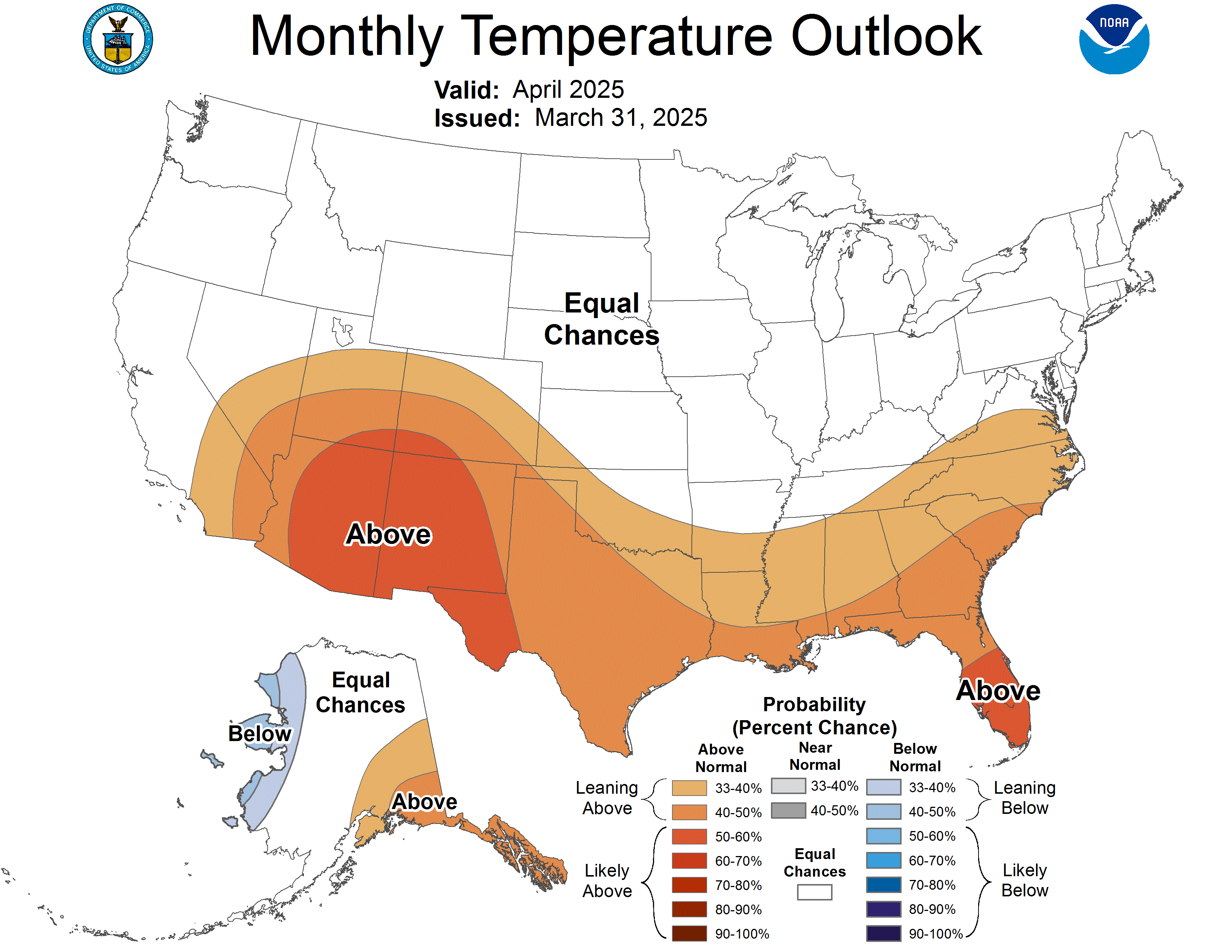
For those of you who read the MikJournal, I posted the monthly forecast from the CPC a few days ago under the 'Looking Ahead to June' post. I noticed that their May 19 forecast for the month of June had below normal readings streaking from NW to SE across our region.
However, based on their 14-day outlook, it appeared that they would have to update the June forecast unless we were supposed to see a significant cool down the last two weeks of the month.
Here's the latest 'update' from the CPC for June (made May 31):
I saw pictures of a tornado sucking water from a river up into the air. Here's one of them:
Welcome to Hurricane Season
June 1 is the meteorological beginning of summer. In addition, it is also the start of hurricane season. A list of the upcoming names can be seen here.
There have been a few updates made by the National Hurricane Center (NHC) beginning this year. For example, those that follow these systems (doesn't everybody?) can look at the Tropical Cyclone Discussion page and find an additional piece of information. The table will add an extra column that denotes forecast intensity in MPH (or miles per hour).
Also, a nice addition has been made to help pronounce the names. For example, here is a couple of names and their phonetic pronunciations:
Katia ka-TEE-ah
Philippe fee-LEEP
The list of phonetic names can be seen here.
Find out more about the updates made by the NHC at this site:
http://www.nhc.noaa.gov/pdf/updates_2011.pdf
That's all for now. Wow, it feels amazing out there this morning. Enjoy it because the heat will be coming back.
MS
Subscribe to:
Posts (Atom)
Tornadoes on Easter Sunday
This is a worse case scenario. Tornadoes and flooded, blocked roadways making for great difficulties reaching residences affecting hard hit ...
-
In July of this year, I did a segment about the latest sunsets in the eastern time zone. This corresponded nicely with the summer solstice a...
-
Recently, I noticed that our days have now begun to shorten. However, our sunset here in Louisville still remains at 9:10pm edt. Starting th...
-
A 1 Temperature C Humidity F Heat Index 2 81 82 86.82 This is an Excel spreadsheet program. Fairly ...