A major winter storm is still forecast to affect a large chunk of real estate in the midwest and Ohio Valley. While 'shut-down' blizzard conditions are forecast for areas near Chicago, my primary focus is on our friends in and around Indianapolis including Bloomington to their south. A serious situation is about to unfold as the models are not deviating from their consistent placement of moisture in the form of rain and sleet while surface temps remain well below freezing. Honestly, if I had to choose between the two, I'd take sleet.
If there is a silver lining, here's one interpretation of the GFS map (the NAM is also in close agreement):
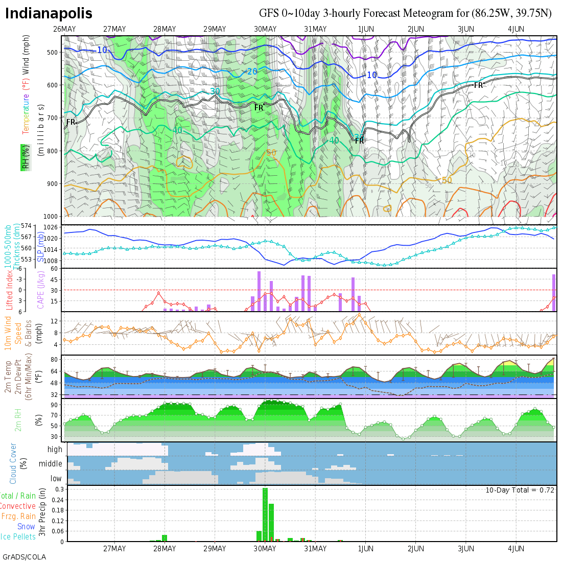
Looking at the last rectangle just above this text, notice the orange bars indicating ice accumulations. Looks like about a half inch before surface temps warm to the freezing mark. Still a significant amount of ice that should cause power outages on the heels of strong winds.
Unfortunately, if the temps don't quite make it to the freezing mark as most meteorologists expect, well over an inch of ice accumulation will occur and devasting damage will result. This weather system has marked its target. Preparations should already be in place. Power crews and road crews should be on their way there, placed on standby on location, as the situation demands.
Hoping for this storm to underperform, but expecting the worst.
More later. Keep an eye on the models. I'll be going into nowcast mode. Speaking of nowcast, take a look at St Louis.
MS


No comments:
Post a Comment