Friday, December 9, 2011

Teleconnections - Something To Go By

Several days ago, I noticed a trend from the teleconnectors, NAO, AO, and the PNA that did not favor much in the way of big storm systems producing a hefty snow for our region. So far, these teleconnectors have been right.

What kind of future signals are these teleconnectors pointing to at present?

First, let me share with you today's graphs of the NAO, AO, and the PNA respectively.

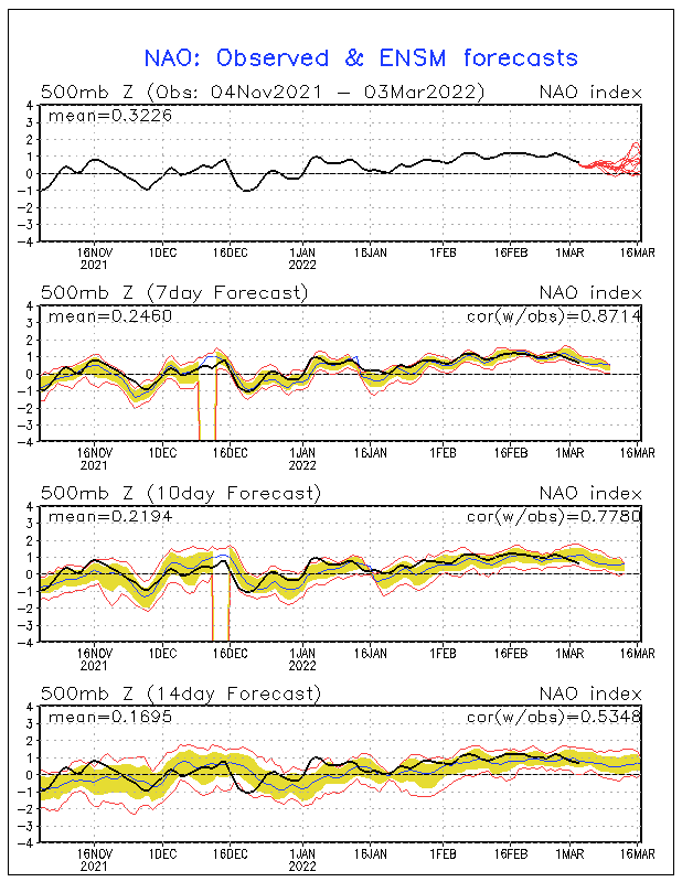
North Atlantic Oscillation (NAO)


Please enlarge the graph above, as of today, December 9, the trend for the NAO going forward is positive, with some vascillation between neutral and positive. Although the 7-day forecast confidence level remains quite high, afterward, confidence values decrease. In fact, the 10-day forecast drops below 50 yet continues to show mostly a positive trend.

Not good for big snows around here unless the signals show something different in the coming days.

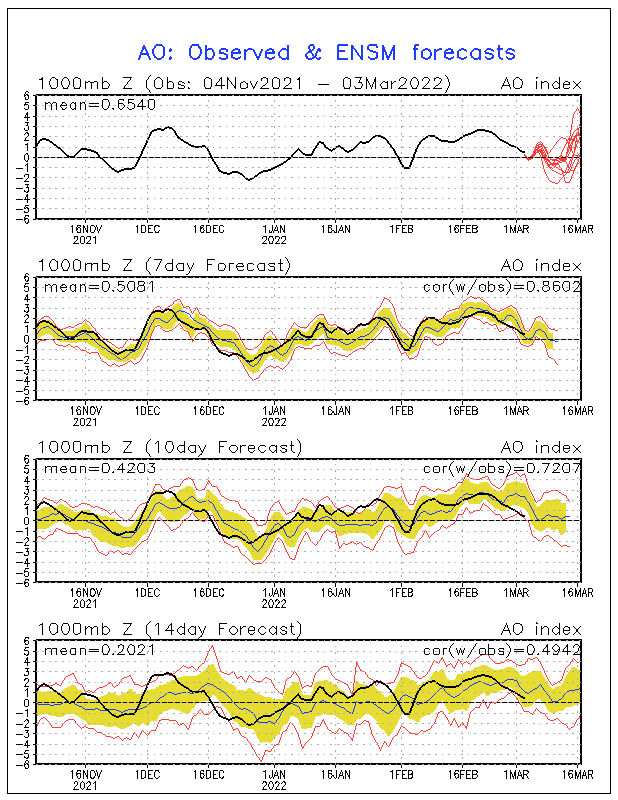
Next, the Arctic Oscillation (AO)


Unfortunately, the AO is forecast to remain positive, and the forecast values going forward are pretty confident for the next 10 days with some expected fluctuations between positive and neutral.

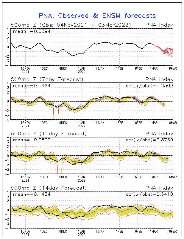
Last, the Pacific North American (PNA) pattern...


After a brief dip, the PNA is expected to turn neutral, perhaps slightly positive. PNA values that are negative allow for colder air to stay out west. However, this time, PNA values could go slightly positive in the days ahead. This would warm up the west and provide the midwest some cold air dropping in from Canada. However, as the NAO should remain positive, any cold air should not last too long.

This certainly sounds frustrating, as my winter forecast for 2011/2012 indicates a turn to a long-lasting colder air pattern, especially by the end of the month. Remember, though, it's still early. I'm still expecting the effects of La Nina to begin intensifying here by the end of the month. But, we do need the NAO to begin its trend toward negative, if we are going to see any threat of a big snow system.

Hopefully, in the days ahead, the trend will become our friend and begin pointing toward a colder, more typical wintry pattern for late December.

MS
Wednesday, December 7, 2011

NOWCAST 12/7/11 and Webcams

1:00pm UPDATE
Flakes are mixing in at this time over parts of the state. Look for a transition to all snow by dark or a little after. However, don't expect temperatures to cooperate much for a lot of accumulation.

After dark, accumulations should occur, primarily on grassy surfaces adn again in those areas highlighted yesterday in far e/se Kentucky. I'm still expecting 1-2" in lower elevations and 3-4".

Snowshoe WV
Snowshoe Mountain Web Cam

Pikeville KY
Pikeville, Kentucky - Pikeville Park 1 Webcam

MS

Tuesday, December 6, 2011

Now Is The Time - NAM 24-36 Hrs Out

It's a good time for me to think about snow amounts for portions of east/se Kentucky. The NAM has been very consistent over the past several runs about a possible snow event.

I want to show you a 850mb map from the NAM for tomorrow (Wednesday morning).


Feel free to enlarge the map above by clicking on it. Take note where the zero line is (the solid dark line). For me, it's not so much that the zero line says snow at the surface. I like to see those values around -4 or -6 to see mostly snow at the surface.

Depending on when the precipitation starts, it appears from this run that temperatures above will be warm enough to support mainly rain or a rain/snow mix for the east/southeast during the daylight hours.

However, note what happens by nightfall...


This time, I would like you to click on the map above. Note that the zero line is far east of the region by Wednesday evening. More importantly, notice that temperatures at the 850 mb level will be cold enough to support snow (at least -4). Also, examine that humidity levels will be quite high as indicated by the green shading thus supporting that flakes should still be flying by then in far east and southeast Kentucky.

The latest NAM model run (12z) shows precip breaking out during the morning hours tomorrow. Should be all liquid then. As the day progresses, expect rain transitioning to a mix, and then by nightfall, should become all snow with up to a couple of inches for those areas I highlighted in an earlier post, from Pineville to Pikeville. Most accumulations should be confined to grassy surfaces. However, some slick spots could develop as wet roadways could freeze during the overnight. May even be slushy accumulations in some of the higher elevations on the roadways.


Note the 2 meter temperature profile for overnight late Wednesday/after midnight Thursday, still shows temps near or above freezing. Most precip should be winding down by then.

Therefore, I still think WWAdvisory could go up during the evening and overnight hours for those locations mentioned above as temps could fall below freezing the rest of the night. Really depends on the temperature of the pavement, as well.

Summary:
From Pineville to Pikeville, 1-2", mainly grassy surfaces; up to 3 or 4" in highest elevations of far southeast Kentucky.
Isolated slick spots after dark.

MS

Monday, December 5, 2011

Snow Watch Monday Evening UPDATE

The NAM is still wanting a snow event. The latest 18zNAM continues to paint an accumulating snow for east/southeast Kentucky. Could still be looking at potential 2-4" for most locations of southeast Kentucky.

If the NAM can hold steady on this trend (of a snow event for east/southeast KY), we may be talking about winter weather advisories at the very least. Far east/southeast KY may go under Winter Storm watch as early as tomorrow.

Let's just see how the other models want to negotiate the upcoming storm and see if the leading NAM model will fold or not.

So far, it looks good...

MS

Updated Rain Totals and Flooding Issues

RAIN TOTALS THRU 4:00pm est

Evansville 3.36"
Louisville 2.61"
Paducah 5.02"

Several high water issues around the Commonwealth. Locally, watch out for ponding of water. Poor drainage issues as a result of debris and saturated grounds. Keep those storm drains clear! It does help some.

I'll be talking about possible snows across the state...coming up.

MS

Louisville's All-Time Wettest Year - 2011 (Also Paducah and Evansville)

As of this post, Louisville has just recorded its wettest year ever, exceeding 2004's total of 64.60".

Paducah has also set its all-time wettest year ever, surpassing 1950's total of 70.58" during the morning hours today.

Evansville set its all-time wettest year ever, beating out 2006's total of 66.18" not too long after midnight.

MS

Rain Totals and Snow Watch Update

As of 5:00 am est...

Louisville 1.08"
Evansville 2.40"
Paducah 3.66"

Louisville, your rain is about to become steadier and heavier during rush hour; therefore, take it slow.

Snow Watch continues...

The most recent run of the 06zNAM still shows a decent accumulation of snow for parts of Kentucky. However, the overall focus appears to be centered across east Kentucky, east of I-75. The NAM shifts east a little bit during this run. Let's keep an eye on the trend. Amounts of 2-4" possible, with locally higher amounts by Thr/Fri time frame. Perhaps lt snow/flurries across central Kentucky, up to an inch in places.

GFS trying to compromise, adjusts for possible snow amounts for east Kentucky.
Awaiting the 12zGEM model run early afternoon.

NWS office in Louisville, in its early morning AFD, downplaying snow system, saying SE parts of its county warning area could be clipped...

"The Euro and GFS scoot the upper trough
eastward too quickly, barely clipping our southeast CWA with light
rain Wednesday afternoon/light snow Wednesday night. This latter
solution is the favored result, and really think that most
precipitation will remain southeast of our
CWA given the fast
movement of the upper-level
shortwave. "

Also, NWS office in Jackson, in its most recent AFD, discusses the possibility of accumulating snow this week...

"ABOUT HALF
OF THE 00Z
GFS ENSEMBLE MEMBERS SHOW PRECIP OVER THE FORECAST AREA.
WILL INCLUDE PEAK
POPS IN THE CHANCE CATEGORY FOR ALL BUT THE FAR NW
PART OF THE FORECAST AREA WHERE
SLIGHT CHANCE WILL BE USED...AND
WILL NEED TO WAIT FOR MORE CONSISTENCY IN THE MODELS TO EITHER RAISE
OR LOWER THE
POPS. SHOULD THINGS COME TOGETHER JUST RIGHT...THERE IS
SOME POTENTIAL FOR ACCUMULATING SNOW
."

MS

Tornadoes on Easter Sunday

This is a worse case scenario. Tornadoes and flooded, blocked roadways making for great difficulties reaching residences affecting hard hit ...