Friday, November 4, 2011

Space Weather - X Class Flares Possible

I don't get much of a chance to talk about space weather. But, we are in an active period when sunspots are the order of the day. And often, from those sunspots, coronal mass ejections of plasma gas protrude and blitz across the heavens at, well, astronomical speeds.

One of the largest sunspots in years is now within our view. At any moment, an eruption of those hot gases could spew out and actually reach earth's atmosphere in as little as 15 minutes.


According to the Space Weather Prediction Center:

2011-11-04 01:39   The First of a String?
NOAA 1339 produced an impulsive R3 (Strong) Radio Blackout at 2027 UTC (4:27 pm EDT) on November 3. If a CME occurred, chances are it is not earth-directed given the far eastern  eruption site on the solar disk. Stay tuned on that bit. The large, bright active region remains potent. Odds are good there's more to come.

X Class flares could result from some of those eruptions.

Here is a nice description of the three primary flares...

Scientists classify solar flares according to their x-ray brightness in the wavelength range 1 to 8 Angstroms. There are 3 categories: X-class flares are big; they are major events that can trigger planet-wide radio blackouts and long-lasting radiation storms. M-class flares are medium-sized; they can cause brief radio blackouts that affect Earth's polar regions. Minor radiation storms sometimes follow an M-class flare. Compared to X- and M-class events, C-class flares are small with few noticeable consequences here on Earth.

Here is a chart of any flare activities and its strength.

latest solar x-ray graph

It appears one has already achieved X Class status, causing a strong radio blackout as described above.

MS

Wednesday, November 2, 2011

Looking At Extreme Temperatures

If you have recently noticed, I've put up an EXTREME list on the right hand side of the blog. I really enjoy the dramatic high/low temperature spreads.

However, in my research, I discovered an unusual temperature anomaly. I still can't figure out if it's legitimate, as I cannot find out any other information other than the NWS office. I guess that will be my next step.

DuBois PA recorded a low of 1 degree yesterday morning.

58
32
26
PA
ALLENTOWN-BETHLEHEM
54
31
23
PA
ALTOONA/BLAIR_CO.
57
32
25
PA
BEAVER_FALLS_ARPT
50
28
22
PA
BRADFORD_REGIONAL
55
30
25
PA
BUTLER_CO._(AWOS)
54
27
27
PA
CLEARFIELD
56
33
23
PA
DOYLESTOWN
51
1
50
PA
DUBOIS/JEFFERSON CO
57
40
17
PA
ERIE/INTL
54
34
20
PA
FRANKLIN(AWOS)
57
33
24
PA
HARRISBURG/CAPITAL
50
31
19
PA
JOHNSTOWN/CAMBRIA
57
35
22
PA
LANCASTER
55
32
23
PA
LATROBE/WESTMORLAND
54
36
18
PA
MEADVILLEWPORT_ARPT
57
34
23
PA
MIDDLETOWN
57
32
25
PA
MUIR_AAF/INDIANTOWN
58
38
20
PA
NORTH PHILADELPHIA
59
41
18
PA
PHILADELPHIA/INTL
57
34
23
PA
PITTSBURGH, COUNTY
57
30
27
PA
PITTSBURGH/GREATER
51
29
22
PA
POCONO_MNTS_MUNIL_ARPT
57
34
23
PA
POTTSTOWN LIMERICK AIR
57
36
21
PA
READING/SPAATZ FLD
58
29
29
PA
SELINSGROVE/PENN_VALLE
54
32
22
PA
STATE_COLLEGE
54
28
26
PA
STEWART_FIELD
57
28
29
PA
WASHINGTON_(AWOS)
55
34
21
PA
WILKES-BARRE-SCRANTON
56
30
26
PA
WILLIAMSPORT/LYCOMING
56
30
26
PA
YORK_ARPT


The following table is from an EXCEL spreadsheet that shows, from left to right, high temp, low temp, spread, state, and reporting location.

Also, I have this graphic to show as well...


Enlarge the map above and look in the lower left graphic, looking in the Northeast U.S. at Pennsylvania. Kinda stands out, doesn't it???

True, several locations had quite a bit of snow over the weekend and this can easily provide the dramatic drop in overnight low temperatures. However, other reporting stations don't really come close to the 1 degree reading at DuBois.

Elevation is not much of an issue, either.

The greatest argument I can provide against using this reading as legitimate is the following observations I copied into my EXCEL spreadsheet from the reporting station.

1
11:56
S 3
A Few Clouds
43
37
30.3
1027
1
10:56
S 5
Overcast
41
37
30.3
1027
1
9:56
SE 3
Overcast
38
34
30.3
1027
1
8:56
Calm
Overcast
34
32
30.3
1027
1
7:56
E 5
Fair
NA
NA
30.3
NA
1
6:56
Calm
Fair
1
NA
30.2
1027
1
5:56
Calm
Fair
1
NA
30.2
1026
1
4:56
Calm
A Few Clouds
NA
NA
30.2
NA
1
3:56
Calm
Mostly Cloudy
NA
NA
30.2
NA
1
2:56
SE 3
Partly Cloudy
NA
NA
30.2
NA
1
1:56
SE 6
Mostly Cloudy
1
NA
40
1
30.2
1026
1
0:56
Calm
Overcast
1
NA
30.2
1026
31
23:56
SE 3
Overcast
39
34
30.2
1025
31
22:56
SE 5
Overcast
39
34
30.2
1025
31
21:56
SE 7
Overcast
39
34
30.2
1025
31
20:56
SE 7
Overcast
39
34
30.2
1024
31
18:56
SE 8
Overcast
41
33
30.2
1024


Notice, specifically, the blue font for the hourly temperature readings. Some type of malfunction must have occurred. As you notice, later in the morning, the reporting station started recording the hourly readings again...at a much higher reading than 1 degree.

Sometimes, these things happen, but can cause confusion for climatologists as they seek to gather correct data for their records.

MS

Monday, October 31, 2011

Nice Way to End the Month...What's Next Month Gonna Bring???

A cool, Fall weekend...loved it. Looks like the first couple of days of November look nice as well. Then some unsettled weather will move back into the region.

What's the month of November looking like so far?

As of today, the Climate Prediction Center has issued its 2-week forecast with above normal temperatures for most of the region, while much below readings across the western U.S.

Precipitation looks to average above normal for our region during the first half of November, including parts of drought-strickened Texas. We'll see about that. Hope they get the rains.

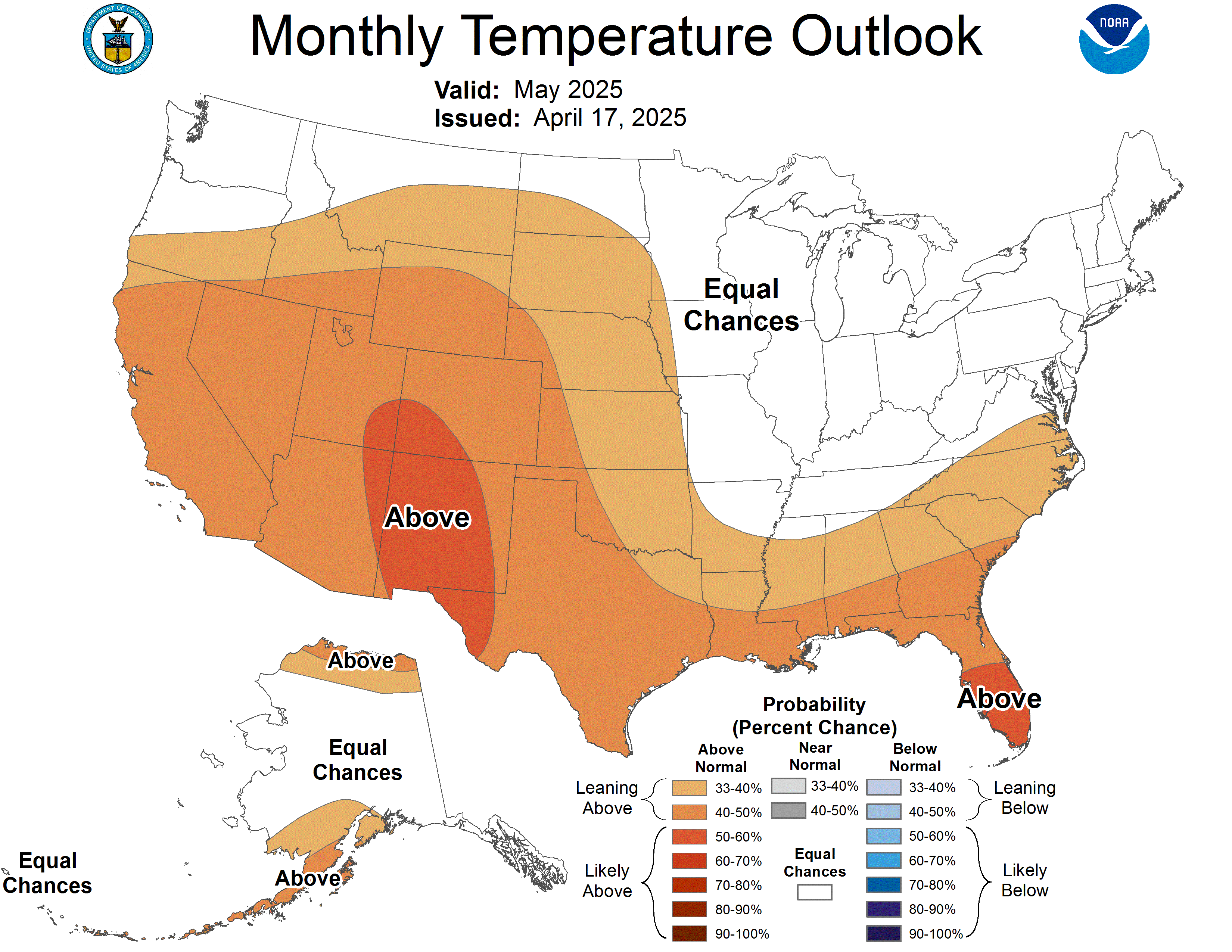
Here's the monthly assessment from the CPC...

Here's a look at the ensembles leading up to the middle of the month of November. This is sure to change. But one thing is certain. Any cold blocked up in the west will eventually have to travel eastward. When it does, that's when it could get quite interesting around our part of the world.


My winter weather forecast is coming out this week. Look for it and compare with others.

Have a good day...

MS

Friday, October 28, 2011

First Significant Regional Winter Storm For East Coast

Click HERE for latest web cam shot of Harrisburg/Lancaster PA where 4-8" of wet snow expected through tomorrow. Winter Storm Warning products out for much of the forecast area there while Winter Storm Watches are posted all along the east coast.

As expected, the far southeastern part of Kentucky will be most impacted by this same weather system that will pronounce winter upon much of the northeast United States.

Already, sleet and some spotty snowflakes have been reported in eastern KY

Although I preferred the other 3 models instead of the European, dry conditions have prevailed for our area here in Louisville as expected. Nevertheless, clouds are hanging tough despite some areas, perhaps just 10 miles from my location, are seeing abundant sunshine.

I forecasted 40's and low 50's for our area the other day and mentioned that southeastern parts of the state would possibly get in on some of the precipitation. I used a compromise of the GFS and GEM solutions to get at what the European model did very well showing.

More updates to follow as the impacts of the first regionwide winter storm for the east coast commences....

MS

Wednesday, October 26, 2011

No Big Deal...

The much advertised system is finally becoming figured out. After much debate about how certain troughs would affect the region, I'm starting to see a consensus that I'm satisfied with. At this point, I'm relying on the NAM, GFS, and GEM. These outnumber the European model and make more sense according to past analogs.

A decent shot of cold air will pour into the region. Highs still look to struggle to reach 50 degrees especially on Thursday while at least low 50's on Friday. With precip exiting, except possibly the far southeastern part of the state, High pressure builds in and provides cool but calmer conditions by Friday.

I still like the chances of a mild end to this month and the beginning of next month.

In the meantime, look for healthy amounts of rain for the region, especially near Louisville, where over an inch is possible tonight into the first part of tomorrow.

MS

Tuesday, October 25, 2011

Other Thoughts About the Next System

Well, we have this storm system bound to take shape very soon now. The models are spitting the data out, and the various NWS offices are now offering their thoughts about it. So, here it goes:

NWS Louisville

A sfc wave along the front as well as a mid
level speed max ahead of the approaching upper trough and
strengthening of the right rear region of the 300mb jet will enhance
rainfall Wed night into early Thurs morning...we should see a good 1-2 inch rain area
wide from this system...By Thurs night, another reinforcing trough will dive south out of
Canada into the Midwest while a second weakening trough moves ENE
out of TX/OK into the TN valley. Models differ on the evolution of
these troughs...Thurs and Fri will be much cooler behind the front in
the 50s for highs...maybe even a few upper 40s.
-----------------------------------------

NWS Jackson

THE 00Z RUN OF THE ECMWF IS
SLOWER WITH THIS FEATURE AND ALLOWS THE SURFACE FRONT AND ITS
MOISTURE TO EXIT TO THE SE THURSDAY NIGHT...WITH PRECIP THEN
RETURNING LATE FRIDAY OR FRIDAY NIGHT AS THE UPPER IMPULSE
APPROACHES AND PASSES. THE 00Z ECMWF EVEN LOOKS COLD ENOUGH FOR SNOW
ON OUR RIDGES IN THE SE ON FRIDAY NIGHT. WITH POOR INTER-MODEL
AGREEMENT AND POOR INTRA-MODEL CONSISTENCY...FORECAST CONFIDENCE IS
LOW FOR THURSDAY NIGHT THROUGH FRIDAY NIGHT. ..THE GFS
CONTINUES TO LEAD THE PACK...MOVING DRIER AIR INTO ERN KY ON FRIDAY
BEHIND THE DEPARTING FRONT AND THIS WOULD EFFECTIVELY PRECLUDE ANY
REAL CHANCES FOR PRECIP AFTER THURSDAY NIGHT. A QUICK PEAK AT THE
INCOMING 25.00Z EURO INDICATES SOME CONSISTENCY WITH THE 24.12Z RUN
WHICH HAS BEEN...AND CONTINUES TO REPRESENT THE SLOWER END OF THE
SPECTRUM...BUT DID COME IN A TICK FASTER...SUGGESTING A POSSIBLE
TREND TOWARDS THE MORE MIDDLE OF THE ROAD GEM SOLUTION.

NWS Paducah

BY THURSDAY NIGHT...WE HAD A DRY FORECAST GOING SINCE IT APPEARED
THE POST FRONTAL RAINS WOULD BE OUT OF THE AREA BY THEN. HOWEVER...
THE GEM AND ECMWF MODELS NOW SHOW PRECIP CONTINUING INTO THURSDAY
NIGHT. ..THE FACT
THAT THE ONCE DRY ECMWF IS NOW MORE IN LINE WITH THE GEM MAKES ONE
WONDER IF IT IS PICKING UP ON SOMETHING. WILL HAVE TO WATCH THE GFS
TO SEE IF IT BEGINS TO MIGRATE TOWARD THE GEM/ECMWF.

NWS Indianapolis

A COOLER DRIER AIRMASS WILL OVERSPREAD MUCH OF THE OHIO VALLEY AND
GREAT LAKES ON FRIDAY IN WAKE OF THE MIDWEEK COLD FRONT. 00Z ECMWF
AND TO A LESSER EXTENT THE 00Z GGEM BOTH HANG THE FRONTAL BOUNDARY
UP IN THE EASTERN TENNESSEE VALLEY ON FRIDAY AND THUS KEEP SOME
PRECIP IN THE OHIO VALLEY ON FRIDAY/FRIDAY NIGHT. THIS APPEARS TO BE
THE RESULT OF A MORE AMPLIFIED UPPER DISTURBANCE ROTATING INTO THE
GREAT LAKES LATE DAY FRIDAY. PREFER THE OP GFS/GFS ENSEMBLE MEAN
IDEA OF MORE PROGRESSIVE FLOW ALOFT WITH THE FRONT PUSHING WELL
SOUTHEAST OF THE REGION BY FRIDAY AND THE UPPER DISTURBANCE
REMAINING SEPARATE.

Therefore, some NWS offices are hanging on to the idea that everything will dry out by Friday. However, an awareness of the other models' opposing views is adding a bit of drama as to how this upcoming weather system will play out.

My thoughts remain the same until I'm convinced otherwise by some type of agreement among all of the models. Even if precipitation should linger in the colder air, the chances of wintry precipitation should be confined to higher elevations of eastern KY. I still think 40's look plausible for highs on Thursday and struggling to get out of the 40's Friday. However, there's still time. Let's see what happens later today with the model runs.

MS

Monday, October 24, 2011

Cold Air Invasion Later This Week

Another piece of cold air is poised to plow through here with plummeting temperatures and plentiful precipitation possible. However, a perplexing piece of the puzzle remains. Any wintry weather working its way from parts of the prairies and pastures of the Canadian provinces?

I've been looking at models, reading other professionals' blogs, digesting information from the National Weather Service offices, and consulting past analogs for the past few days about this upcoming shot of cold air coming our way.

I keep seeing a similar theme. Either the models and analogs are just waiting for more information to digest, or a consistent pattern is developing regarding how this system will unfold.

I don't foresee any wintry precipitation with the models I've been perusing (except in the usual higher elevations of east KY). That still has time to change. The NAM models will now be able to offer some hints. Also, as the storm system pushes closer, the other models should be able to figure this one out, probably by the end of the day or first thing tomorrow.

Although the NWS office here in Louisville continues to advertise high temperatures in the 50's after frontal passage, I still haven't been sold on that thought yet. I think we'll have a difficult time getting out of the 40's one day this week, possibly Thursday. By Friday or so, highs may struggle to reach 50 or 51.

Today, I'll be interested in other NWS offices' thoughts outside of Louisville and read their thoughts about the upcoming week.

In a later post, I'll share some of those with you. In the meantime, have a good one.

MS

Tornadoes on Easter Sunday

This is a worse case scenario. Tornadoes and flooded, blocked roadways making for great difficulties reaching residences affecting hard hit ...