Not a lot of hoopla going on in the weather around here, but I think 100 degree heat index is something to chime about. As of 2pm, Louisville and Bowling Green's heat index are at 99 degrees. It's quite possible either or both locations will breach 100.
We'll see...
MS
Tuesday, May 31, 2011

Looking Ahead to June
While May is ending up on a rather 'heated' note, the debate on whether this summer will be a hot one continues to be a 'hot' topic. Here is a look at the 6-10 day outlook from the CPC and its 8-14 day outlook as well:

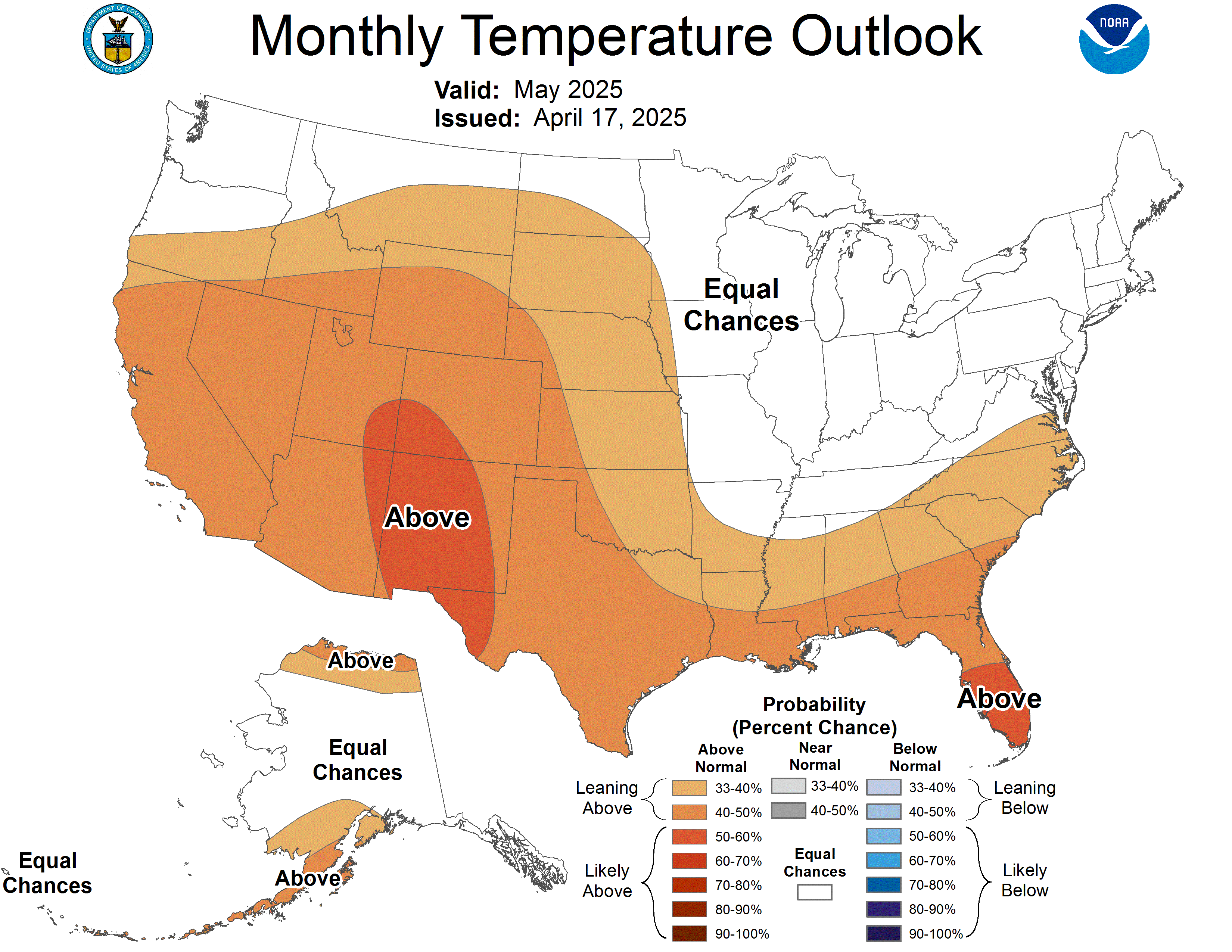
 As one can see from this recently updated forecast, the first part of June appears to be above to well-above normal with respect to temperatures. Therefore, I would expect some revision to their outlook for the month of June, which was made initially on May 19.
Either the outlook needs revision or else we're going to have quite a cool down for the second half of June.
 Also, hurricane season is about ready to get under way. At the moment, the way the weather patterns are positioning themselves favor a rather active tropical setup, perhaps systems forming this month and near the U.S. mainland. Stay tuned you who have vacation interests along the Gulf coast and Florida.
Have a nice day. Updates as usual as they become necessary.
MS


Either the outlook needs revision or else we're going to have quite a cool down for the second half of June.
Have a nice day. Updates as usual as they become necessary.
MS
Beware of the Heat

Although no heat advisories are issued until heat indices approach 105 degrees, EXERCISE CAUTION out there by drinking plenty of liquids, taking periodic breaks, wearing loose, lightweight, and light-colored clothing.
On a side note, I've prepared this bit of info from NOAA that you will find worthwhile. It's about a relatively new product called the Heat Health Watch/Warning System or the HHWS. Since large urban areas are sensitive to heat early in the summer season, this meteorological tool can be tailored for each urban location. Some of the Weather Forecast Offices that have implemented this tool include Saint Louis and the Cincinnati/Dayton offices
I'm surprised the Louisville NWS Forecast Office is not on board with this yet. Maybe they are, but I do not see their name on the list.
Click here to learn more about this product.
MS
Friday, May 27, 2011
Welcome To Your Friday...
TGIF, at least I'm glad. It's been a long week. Here's your Friday 'need-to-know', that's-interesting-to-know, or 'don't-care-to-know' list of goodies:
Today is Sunscreeen Protection Day (like we really need it around here today). With the 'unofficial' kickoff to the summer season, more people are expected to be outdoors. Therefore, while engaging in whatever outdoor activity, slap a bit of sunscreen on, at least SPF 15 or higher. And yes, you can still get a 'burn' even when the sun is mostly obscured.
Also, last chance you lovebirds, this is still Date Your Mate Month.
If you have not already done so, get your blood pressure checked. It's still National Blood Pressure Month. Younger ones especially should participate (I read somewhere that high blood pressure is becoming an increasing problem for many teens).
If your blood pressure is OK, why not celebrate and have a burger while it's still National Hamburger Month. McDonalds had Big Macs at 2/$4.00 for most of the month. Me, I'd rather grill mine and put together my own 'all-beef patty special sauce lettuce cheese...
If your blood pressure is NOT ok, then try eating salad while National Salad Month is ongoing. The way I see it, if you have that salad then your rich, creamy dessert has zero calories...or almost.
Other events of interest on this date May 27:
1896 - St Louis Tornado kills 255
1931 - Piccard and Knipfer make first flight into the stratosphere...by balloon
1941 - German battleship Bismarck sinks as British Naval and Air forces converge; 2,300 perish
1969 - Construction begins on Walt Disney World in Florida
1995 - Christopher Reeve ('Superman') becomes paralyzed after being thrown from a horse in a jumping event
1998 - Charlie Sheen is admitted to a LA hospital for drug overdose (we just can't stop harassing the guy)
Born On Dates (Budweiser not included)
Louis Gosset, Jr - 1936
Frank Thomas - 1968
Jack McBarayer - 1973
Have a good Friday and weekend.
MS
Today is Sunscreeen Protection Day (like we really need it around here today). With the 'unofficial' kickoff to the summer season, more people are expected to be outdoors. Therefore, while engaging in whatever outdoor activity, slap a bit of sunscreen on, at least SPF 15 or higher. And yes, you can still get a 'burn' even when the sun is mostly obscured.
Also, last chance you lovebirds, this is still Date Your Mate Month.
If you have not already done so, get your blood pressure checked. It's still National Blood Pressure Month. Younger ones especially should participate (I read somewhere that high blood pressure is becoming an increasing problem for many teens).
If your blood pressure is OK, why not celebrate and have a burger while it's still National Hamburger Month. McDonalds had Big Macs at 2/$4.00 for most of the month. Me, I'd rather grill mine and put together my own 'all-beef patty special sauce lettuce cheese...
If your blood pressure is NOT ok, then try eating salad while National Salad Month is ongoing. The way I see it, if you have that salad then your rich, creamy dessert has zero calories...or almost.
Other events of interest on this date May 27:
1896 - St Louis Tornado kills 255
1931 - Piccard and Knipfer make first flight into the stratosphere...by balloon
1941 - German battleship Bismarck sinks as British Naval and Air forces converge; 2,300 perish
1969 - Construction begins on Walt Disney World in Florida
1995 - Christopher Reeve ('Superman') becomes paralyzed after being thrown from a horse in a jumping event
1998 - Charlie Sheen is admitted to a LA hospital for drug overdose (we just can't stop harassing the guy)
Born On Dates (Budweiser not included)
Louis Gosset, Jr - 1936
Frank Thomas - 1968
Jack McBarayer - 1973
Have a good Friday and weekend.
MS
Thursday, May 26, 2011
MikJournal Top Ten
We are closing in on the 10th wettest May on record here in Louisville. At just over 8", we only need a little bit more to break the 8.16" set last May in 2010.
Another significant top ten is the annual tornado fatalities list. The death toll for this year continues to climb. Well over 500 fatalities for the year may be realized by the time Joplin's count is finished. Along with at least a dozen fatalities over the last couple of days, we may vault into the top five.
Below is a list of the deadliest years attributed to tornadoes:
1925 - 794
1936 - 552
1917 - 551
1927 - 540
1896 - 537
1953 - 519
1920 - 499
1908 - 477
1909 - 404
1932 - 394
Source: Harold Brooks, research meteorologist, National Severe Storms Center, Norman, Okla. The National Weather Service began formally archiving tornado data in 1950; earlier totals are based on various historical accounts.
MS
Another significant top ten is the annual tornado fatalities list. The death toll for this year continues to climb. Well over 500 fatalities for the year may be realized by the time Joplin's count is finished. Along with at least a dozen fatalities over the last couple of days, we may vault into the top five.
Below is a list of the deadliest years attributed to tornadoes:
1925 - 794
1936 - 552
1917 - 551
1927 - 540
1896 - 537
1953 - 519
1920 - 499
1908 - 477
1909 - 404
1932 - 394
Source: Harold Brooks, research meteorologist, National Severe Storms Center, Norman, Okla. The National Weather Service began formally archiving tornado data in 1950; earlier totals are based on various historical accounts.
MS
Wednesday, May 25, 2011
HIGH Risk for Severe Weather
8:00pm
Atmosphere is uncapped according to SPC. Supercells can develop at any time and quickly become dangerous. I do think discrete cells will develop ahead of the main squall. Even if we miss the supercells, the damaging wind event will be impressive later this evening. Looks like WATCH box may be extended beyond 10pm for Louisville.
1:55pm
Particularly Dangerous Situation Tornado WATCH
A rare occurence indeed. The numbers on this thing are almost off the charts. A PDS Tornado Watch is in effect for our area in Louisville and many places to our west and southwest. Some of these probabilities are very concerning to me.
Within the WATCH box:
Probability of 2 or more tornadoes >95%
One or more strong (EF-2 to EF-5) 80%
Severe hail >2" 70%
10 or more severe wind events (>58mph) 70%
Severe wind >75mph 60%
---------------------------------
12:15pm
Tornado WATCH for the entire viewing area
More graphics later.
---------------------
A seemingly unprecedented second day in a row with a HIGH RISK for severe storms issued by the SPC including strong tornadoes. This could be a violent day around the region.
I don't see any signs of leftover convective activity that could 'cloud' our chances for future development of severe weather. In addition, the atmosphere is already getting 'juiced up'.
The only thing that could hinder our afternoon chances for strong storms will be a rather weak cap. However, that cap will not last long. The dynamics of this system will easily overcome any atmospheric obstacles.
Last comment on this. I have heard rumors that the SPC will increase our risk area to HIGH later today. That will include Louisville.

Tornado Risk is real:

Keep an eye on our satellite views as well:


And last but not least, our RADAR views...

MS
Atmosphere is uncapped according to SPC. Supercells can develop at any time and quickly become dangerous. I do think discrete cells will develop ahead of the main squall. Even if we miss the supercells, the damaging wind event will be impressive later this evening. Looks like WATCH box may be extended beyond 10pm for Louisville.
1:55pm
Particularly Dangerous Situation Tornado WATCH
A rare occurence indeed. The numbers on this thing are almost off the charts. A PDS Tornado Watch is in effect for our area in Louisville and many places to our west and southwest. Some of these probabilities are very concerning to me.
Within the WATCH box:
Probability of 2 or more tornadoes >95%
One or more strong (EF-2 to EF-5) 80%
Severe hail >2" 70%
10 or more severe wind events (>58mph) 70%
Severe wind >75mph 60%
---------------------------------
12:15pm
Tornado WATCH for the entire viewing area
More graphics later.
---------------------
A seemingly unprecedented second day in a row with a HIGH RISK for severe storms issued by the SPC including strong tornadoes. This could be a violent day around the region.
I don't see any signs of leftover convective activity that could 'cloud' our chances for future development of severe weather. In addition, the atmosphere is already getting 'juiced up'.
The only thing that could hinder our afternoon chances for strong storms will be a rather weak cap. However, that cap will not last long. The dynamics of this system will easily overcome any atmospheric obstacles.
Last comment on this. I have heard rumors that the SPC will increase our risk area to HIGH later today. That will include Louisville.

Tornado Risk is real:

Keep an eye on our satellite views as well:


And last but not least, our RADAR views...
MS
***TORNADOES likely today***

I'd like to share an interesting water vapor satellite image with you. This is taken from the severe weather outbreak of April 15 and 16, which produced preliminary tornado reports of 117 and 95 respectively (these dates are still ranked as the second and third most active tornado days of 2011).

Here is the latest water vapor satellite imagery of yet another impressive storm system that will be impacting our region today and overnight.

The comparisons are eerily similar. I may be 'crying wolf', but this has the earmarks for a rather active tornado day across MO, AR, KY, IN, IL, and TN.
The past couple of days have produced a little less than 40 reports of tornadoes. I expect that number to go much higher today and tonight. I just hope the fatality list will be nil this time.
Outside of the potential tornado threat will exist a damaging wind/large hail event as well. I do think some of those storms that become a squall line with bowing segments will have the capability of putting out winds of 70 mph or greater along with isolated tornadoes that could spin up anywhere along the line.
In addition, with so much rotation aloft, very large hail, greater than golf balls could pound parts of our region today and this evening.
Get those weather radios ready. Check your batteries. Stay tuned and stay safe.
MS
Subscribe to:
Posts (Atom)
-
Recently, I noticed that our days have now begun to shorten. However, our sunset here in Louisville still remains at 9:10pm edt. Starting th...
-
 In July of this year, I did a segment about the latest sunsets in the eastern time zone. This corresponded nicely with the summer solstice a...
 -
Although snow totals were a bit inflated for several locations by the different models, I still believe the amounts I had forecast were not ...
