Snow reports
W Lafayette IN 1.1"
Danville IL 1.0"
Ice reports
Brownsburg IN 0.1"
Sullivan IL 0.1"
Danville IL 0.1"
Effingham IL 0.2"
Lane IL 0.3"
Hazelwood IL 0.1"
Current conditions at 6pm cst
St Louis MO Freezing Rain 31 deg
O'Hare IL Flurries 23 deg
Decatur IL Freezing Rain 30 deg
Peoria IL Light Snow 21 deg
Champaign IL Freezing Rain 25 deg
Monday, January 31, 2011
X marks the spot...
A major winter storm is still forecast to affect a large chunk of real estate in the midwest and Ohio Valley. While 'shut-down' blizzard conditions are forecast for areas near Chicago, my primary focus is on our friends in and around Indianapolis including Bloomington to their south. A serious situation is about to unfold as the models are not deviating from their consistent placement of moisture in the form of rain and sleet while surface temps remain well below freezing. Honestly, if I had to choose between the two, I'd take sleet.
If there is a silver lining, here's one interpretation of the GFS map (the NAM is also in close agreement):
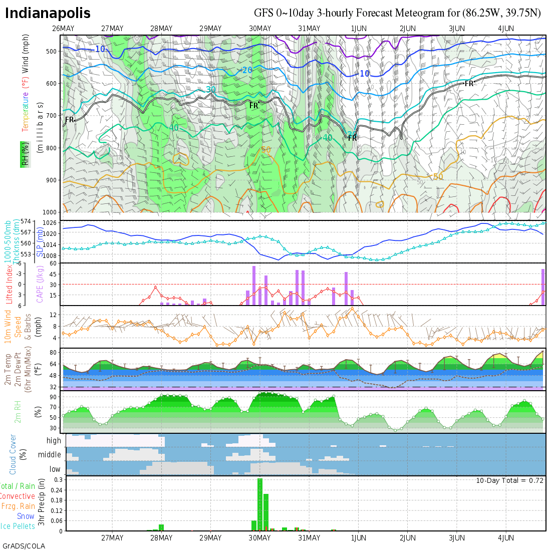 Looking at the last rectangle just above this text, notice the orange bars indicating ice accumulations. Looks like about a half inch before surface temps warm to the freezing mark. Still a significant amount of ice that should cause power outages on the heels of strong winds.
Unfortunately, if the temps don't quite make it to the freezing mark as most meteorologists expect, well over an inch of ice accumulation will occur and devasting damage will result. This weather system has marked its target. Preparations should already be in place. Power crews and road crews should be on their way there, placed on standby on location, as the situation demands.
Hoping for this storm to underperform, but expecting the worst.
More later. Keep an eye on the models. I'll be going into nowcast mode. Speaking of nowcast, take a look at St Louis.
MS
If there is a silver lining, here's one interpretation of the GFS map (the NAM is also in close agreement):
Unfortunately, if the temps don't quite make it to the freezing mark as most meteorologists expect, well over an inch of ice accumulation will occur and devasting damage will result. This weather system has marked its target. Preparations should already be in place. Power crews and road crews should be on their way there, placed on standby on location, as the situation demands.
Hoping for this storm to underperform, but expecting the worst.
More later. Keep an eye on the models. I'll be going into nowcast mode. Speaking of nowcast, take a look at St Louis.
MS
Sunday, January 30, 2011
Remembering the Ice Storm 2009 - SPECIAL EDITION
After finishing my job at the airport, I checked my cell for any messages from my wife. Well, she had called just a few minutes earlier. Upon returning her call, when she answered, there was no 'hello dear', just a calm monotone voice with the words, "Get the hell home. There is stuff falling all around the house and we're scared."
My drive home was not too bad as the main roads I used were just wet. But, the street lights were casting a brilliant reflection of ice on trees and other objects. As I drove into the subdivision, I noticed quite a bit of downed limbs. When I pulled into our driveway, I discovered several limbs littering the front and especially the back yard. Stepping out of the car, there was an eerie silence that was often interrupted by creaking, cracking, popping, and crashing. "Hope that wasn't someone's home," I thought aloud. "I think the worst is yet to come."
Good Sunday to all and welcome to a special edition of the MikJournal. Since talk has been ongoing about a historical and potentially devastating winter storm affecting the region early this upcoming week, I thought it appropriate to reflect on the Ice Storm of 2009.
The above experience highlights my personal ordeal, especially dealing with the aftermath of 5 days without power. I recall sleeping in the basement where the temperature was a balmy 49 degrees (my wife and 12-month old little girl were staying at my parent's house). You know, that was the best sleep I ever had. I didn't want to sleep upstairs because the temperature had already plummeted to 38 degrees. I had to keep the water trickling to avoid pipes freezing.
What were you doing? What were you thinking? Any survivor stories? I'd like to hear about them.
In the meantime...
If you have time, try this site:
http://docs.lib.noaa.gov/rescue/dwm/data_rescue_daily_weather_maps.html
You may have to download the djvu browser plug-in from the home page.
Now, you can navigate the site to find the weather maps for those eventful days of Jan 26-28, 2009.
In addition, you may be able to compare those maps with what the current thinking is for this upcoming storm.
Here is a nice review of the overall Ice Storm 2009 event from the National Weather Service with many pictures included.
http://www.crh.noaa.gov/lmk/?n=jan_2009_ice_and_snow
I would like to hear your experiences. Just comment on them below. I hope to make a weather CD of the historical event and include some of your experiences.
Hear from you soon, In the meantime, have a great day!
MS
Saturday, January 29, 2011
Preparing For a Busy Week
Good Saturday evening to all and thanks for checking in. The weather promises to keep us on our toes, unless you live just north of the Ohio River where ice may keep you on your, well, something else. Although I'm not a big fan of the GFS forecast model, I looked at a few runs and have noticed a general 'warming' from run to run to run. Therefore, I'm becoming more convinced that Louisville and points south will be looking at a heavy rain event for early to midweek.
What about areas just to our north and northeast? I'm looking at a rather narrow area some 30 miles wide from north to south that could be facing a significant ice event. Of course, I'm hoping that the GFS will continue to show a progressively warmer solution so that these areas will warm enough to prevent additional icing. This has bad written all over it. However, thankfully, we're still at least a day away from getting a better handle on this impending storm system
It will be a classic battle of the Arctic airmass and the warmer surge of air coming up from the Gulf of Mexico. Unfortunately, some areas may become severely impacted. Elsewhere, it looks like significant accumulations of a sleet/snow mixture north of the freezing rain areas.
Stay tuned and keep checking back in. Tomorrow, I hope to post a few charts outlining what could possibly happen. Quite likey, I won't be making a general forecast but should do so by Monday.
That's all for now. Have a great evening.
MS
Friday, January 28, 2011
How to Make Sense of the Models
Welcome to the blog. Today in my journal, I thought we would look at the best way to read the models that most weather gurus use to establish a personal forecast.
Since I have an accounting degree, I'm going to use a company's balance sheet to help you understand how to use the different forecast models and how best to interpret them.

First, the balance sheet is often referred to as a 'snapshot' of a company's financial condition at a moment in time. However, one cannot fully understand how a company is doing and where it is going unless there is a comparison of its other balance sheets from prior years.
Similarly, when a forecast model is presented, we are looking at a 'snapshot' of weather conditions that could exist by the date the model suggests. However, it's difficult to make a forecast based on one model run unless we compare it to other 'runs'.
The article that I researched suggested looking at the balance sheet as a sequence of pictures in a photo album to compare changes over time. Why would we do this?
By comparing different 'snapshots', we can answer pertinent questions such as, "How much stuff do we have? What's the trend?" and "Where did it come from? What are the trends?"
Therefore, we can see how important it is to compare different model runs before making a forecast. By looking at the appropriate data (such as QPF - snowfall/accumulations) and analyzing trends, our interpretation for that model will be more accurate
In addition, we can compare other forecast models and follow the same steps above. Then, we can compare the different forecast models and identify any similarities to reach an effective conclusion thus making a better forecast.
Thanks to the following site for the useful information:
http://www.cooperativegrocer.coop/articles/2009-01-19/balance-sheets
In a later post, I hope to use some of the models for the next 'big' event here in the Ohio Valley. That is all for now. Have a great day!
MS
Subscribe to:
Posts (Atom)
-
 In July of this year, I did a segment about the latest sunsets in the eastern time zone. This corresponded nicely with the summer solstice a...
 -
Recently, I noticed that our days have now begun to shorten. However, our sunset here in Louisville still remains at 9:10pm edt. Starting th...
-
A 1 Temperature C Humidity F Heat Index 2 81 82 86.82 This is an Excel spreadsheet program. Fairly ...
